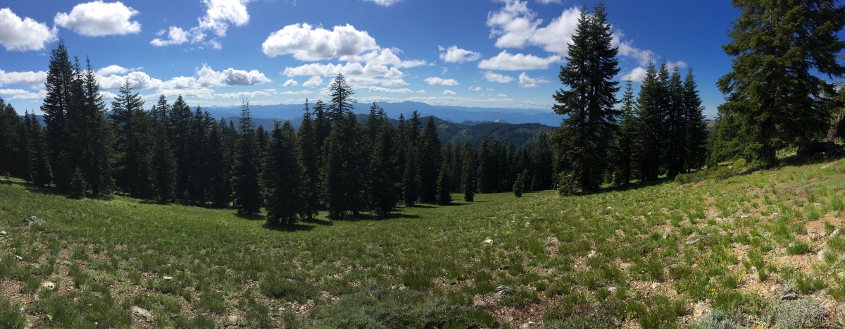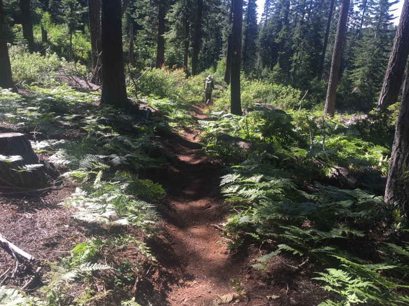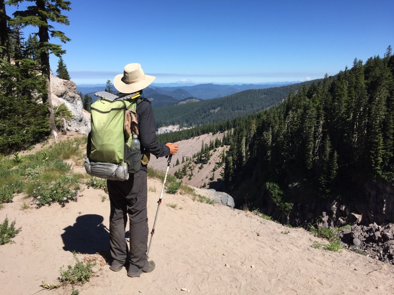
We left Timberline Lodge after eating their legendary breakfast buffet. Between the two of us, we had cheesy eggs, frittata, a biscuit, apple fritter pancakes with berries and whipped cream, several fresh baked pastries, sausage links and patties, ham, breakfast smoothies, yogurt with granola, cherries and watermelon. We didn’t have room for waffles. Continue reading “Days 120 & 121 (Miles 2094.5 to 2144.2)”
Month: July 2016
Days 116 to 119 (Miles 1981.3 to 2094.5)
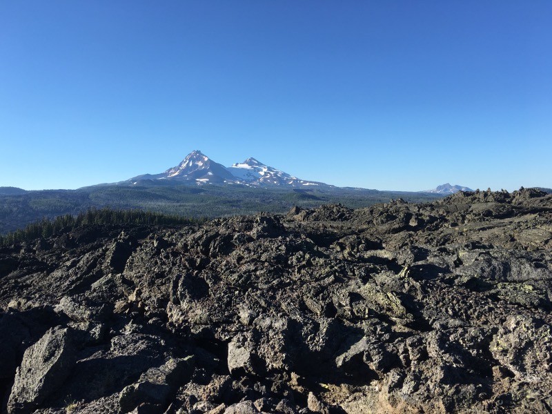
We got back on the trail at the Dee Wright Observatory. The observatory looks like a little castle built out of lava rock on Highway 242 at McKenzie Pass. Normally we would check out the view from the top but a fellow hiker warned us of about five miles of difficult lava rock walking, so we decided to conserve our energy for the trail. At first, we were giddy with excitement to have new shoes, but after a couple miles of ankle-twisting lava cobbles, it didn’t really matter much. Lava rock is the worst. Continue reading “Days 116 to 119 (Miles 1981.3 to 2094.5)”
Days 112 to 115 (Miles 1904.1 to 1981.3)
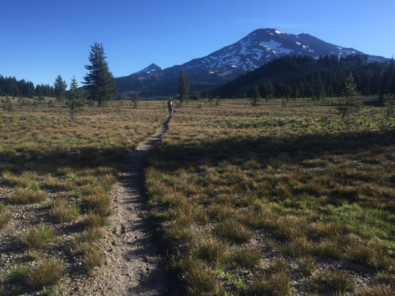
The trail gets progressively more scenic going north from Shelter Cove. We crossed Highway 58 near Willamette Pass and soon we were hiking in the forest, past the many lakes within the Willamette National Forest and Three Sisters Wilderness. The mosquitos were pretty bad, but with our head nets on, they mostly didn’t bother us. Continue reading “Days 112 to 115 (Miles 1904.1 to 1981.3)”
Days 109 to 111 (Miles 1818.4 to 1904.1)
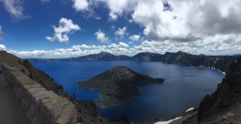
The sound of thunder woke us up at the Mazama Village campground. It wasn’t raining, so we packed up as quietly as possible and left camp before 7am. Continue reading “Days 109 to 111 (Miles 1818.4 to 1904.1)”
Days 105 to 108 (Miles 1716.2 to 1818.4)
We took a cab from Ashland back to the PCT. The cab driver spent some time telling us about a machine he built, that could control hurricanes. Rob wanted details and asked lots of questions. I tuned them out. Fortunately it was a quick drive back to the trailhead. Continue reading “Days 105 to 108 (Miles 1716.2 to 1818.4)”
Days 102 to 104 (Miles 1647.0 to 1716.2)
The PCT follows roads for the 6.4 miles from Grider Creek Campground to the town of Seiad Valley. We heard that the trail was originally meant to cross the Klamath River on a pedestrian bridge, but as costs skyrocketed, the planners abandoned that idea and simply routed the trail along Highway 96. Continue reading “Days 102 to 104 (Miles 1647.0 to 1716.2)”
Days 100 & 101 (Miles 1597.3 to 1647)
It was nice to sleep in a little bit – our ride back up to the trail left Etna at 8 am. When we reached the summit the trail was exactly as we left it – socked in a cloud. Continue reading “Days 100 & 101 (Miles 1597.3 to 1647)”
Days 96 to 99 (Miles 1498.7 to 1597.2)
The PCT feels like the PCT again. We spent the last few days at higher elevations, traversing along ridge tops at 6000′ to 7000′ elevation. Poison oak and face gnats have been replaced with conifers and sweeping views. The mosquitoes are still around though. They don’t bother us while hiking, but they swarm as soon as we stop to set up camp. Continue reading “Days 96 to 99 (Miles 1498.7 to 1597.2)”
Days 92 to 95 (Miles 1416.5 to 1498.7)
The trail between Burney Falls State Park and Interstate 5 felt like a green tunnel. We spent a lot of time in dense forest, but with brief glimpses of Mount Shasta while we were in burn areas or clear cuts. We also managed to find campsites on ridge tops with good views. Continue reading “Days 92 to 95 (Miles 1416.5 to 1498.7)”