
We left Timberline Lodge after eating their legendary breakfast buffet. Between the two of us, we had cheesy eggs, frittata, a biscuit, apple fritter pancakes with berries and whipped cream, several fresh baked pastries, sausage links and patties, ham, breakfast smoothies, yogurt with granola, cherries and watermelon. We didn’t have room for waffles.

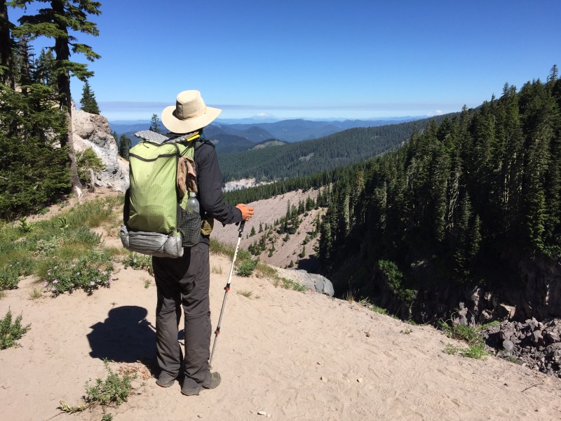
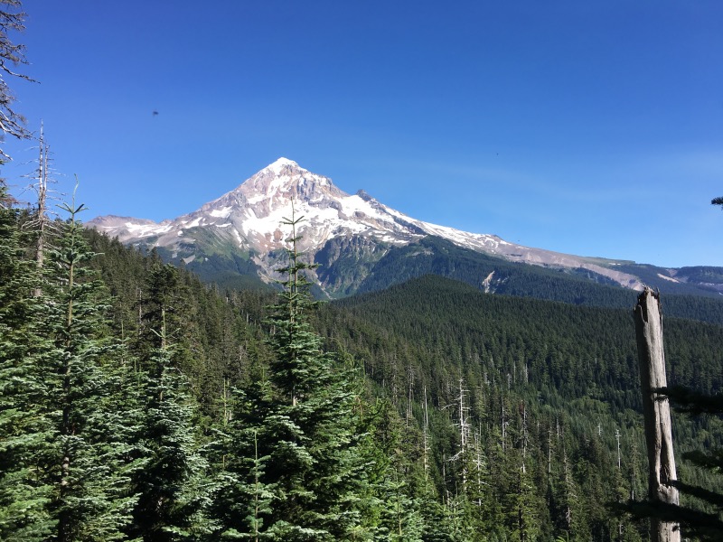
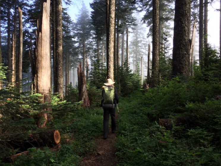
We hit the trail as soon as we finished breakfast. It was quickly becoming another hot day and the trail seemed to have a lot of big climbs and descents. We’ve gotten used to Oregon being relatively flat. The miles went by slowly, but we had great views of Mt Hood as we traversed around it.
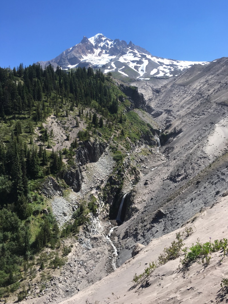
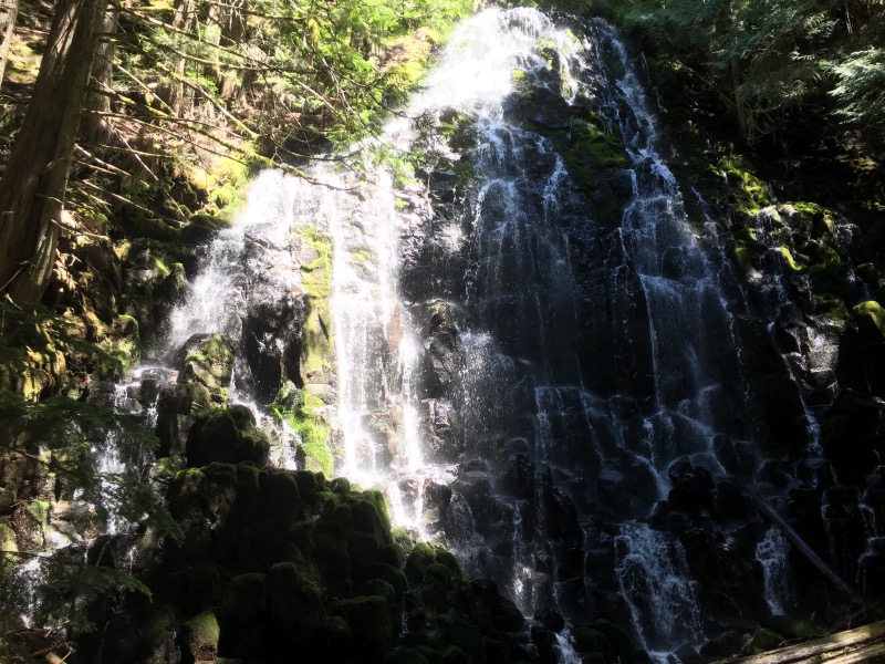
We took a two mile alternate trail to Ramona Falls. It was a nice waterfall – lots of day hikers were on the trail.
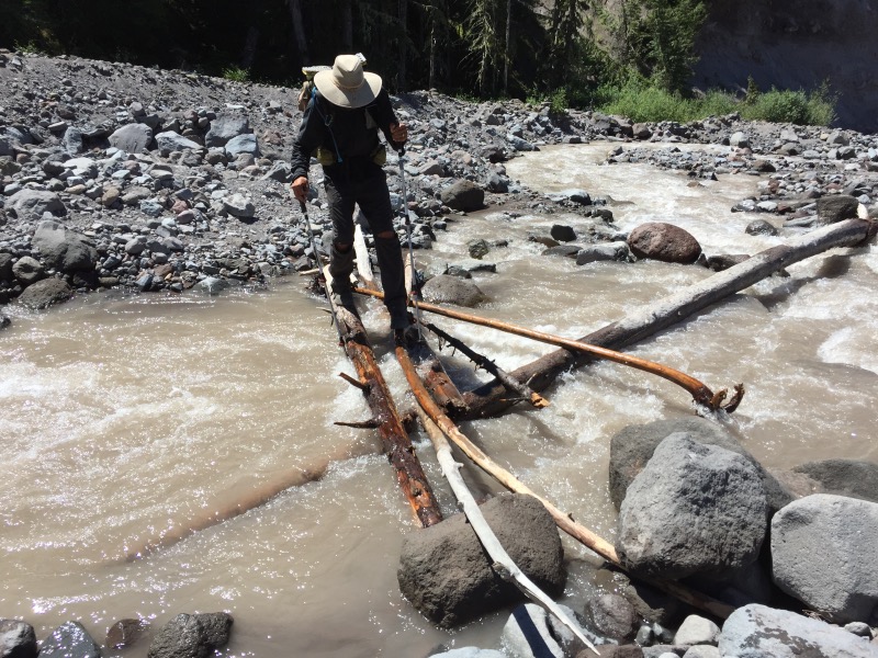
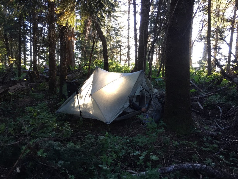
We planned to camp at Salvation Spring – a water source about 22 miles from Timberline Lodge. We got there sometime past 7pm. It was the weekend: four other tents were already set up near the spring. With no room for us, we filled up on water and hiked another mile or so. We found a campsite somewhere in the trees near the trail.
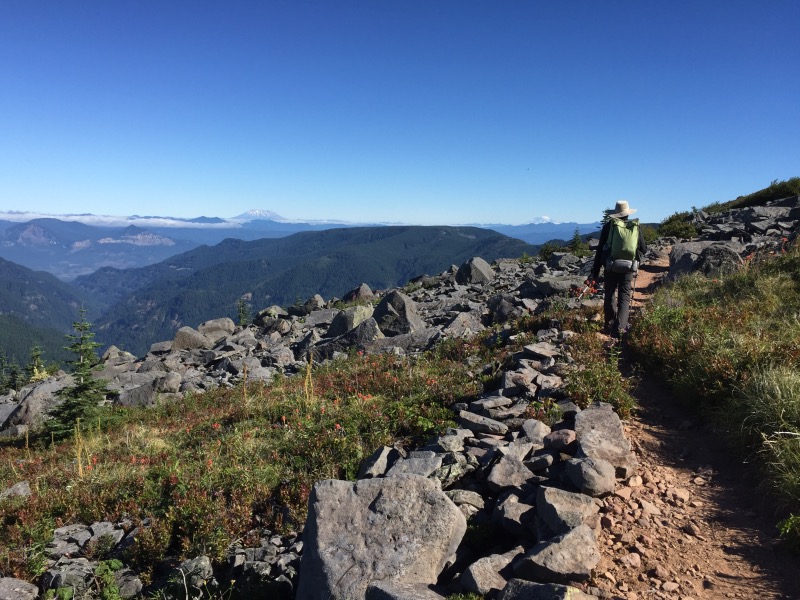
We got up early and packed quickly. We were walking shortly after 6am. The trail stayed in the forest for the first few miles, but soon we found ourselves high up on a ridge with views of Mount Saint Helens, Mount Rainier and Mount Adams.
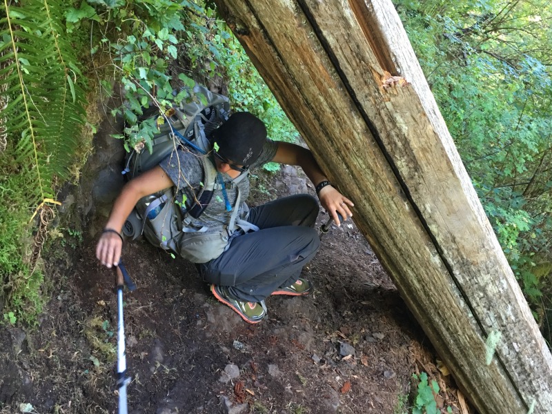
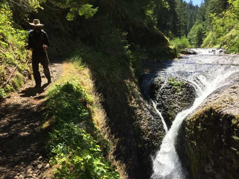
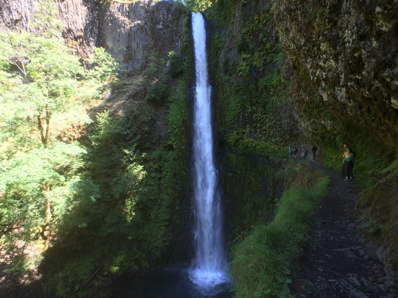
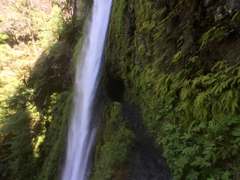
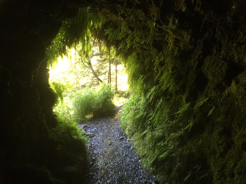
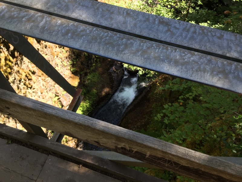
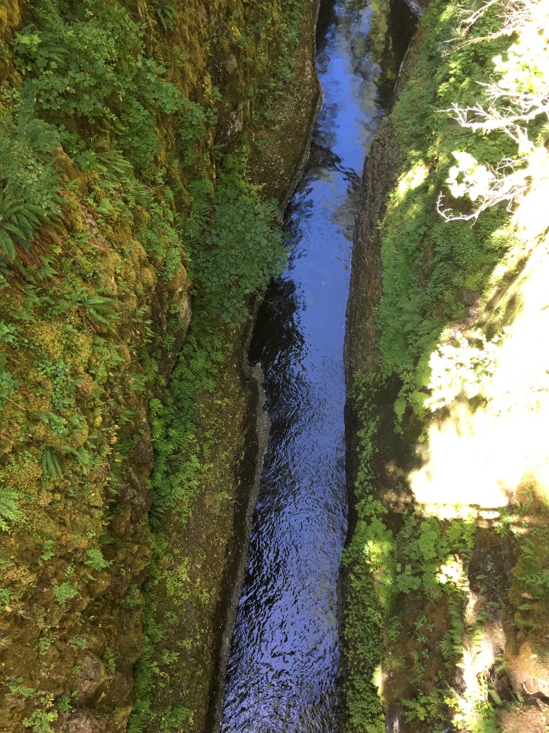
After another mile or so, we dropped back into the forest. We decided to take the Eagle Creek Trail Alternate. It’s not the official PCT, but like the Crater Lake Rim Alternate, basically nobody hikes the official PCT in this section. We descended an extremely steep trail, down to the Eagle Creek Trail in the Columbia River Gorge. The Eagle Creek Trail took us through a deep canyon, past many waterfalls.
We saw more and more people as we neared the parking area. The weather was beautiful and it was a Saturday; by the time we were within two miles of the highway, we were walking in a long line of people.
We were alone again as soon as we departed the Eagle Creek Trail. We walked three more miles to reach the town of Cascade Locks, on the Oregon side of the Columbia River.
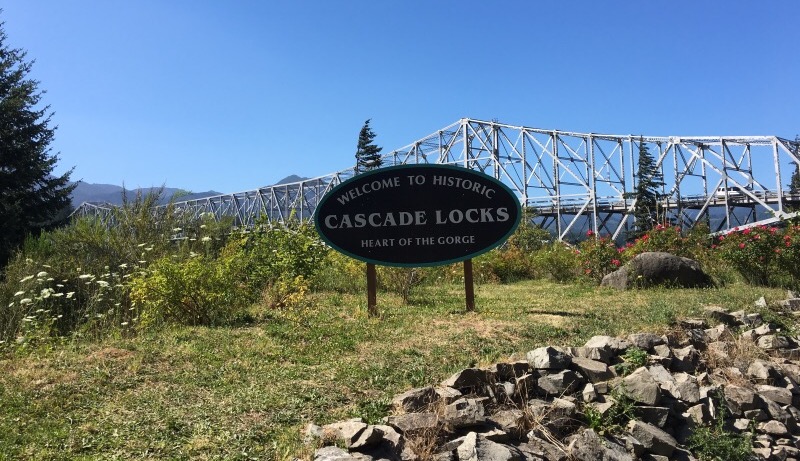
It took us 103 days to walk through California. We finished Oregon in just over 18 days. One more state to go!
this section looks amazing!!!
and that food is making me hungry!
It is! We really liked the northern half of Oregon. Would be great for a section hike.
Congratulations on making it through Oregon! Good luck and have fun in Washington!
Thanks Karen!
103 days vs 18… Holey moley… Maybe the mosquitos helped you along in OR?
Mosquitos definitely helped speed us up. 🙂 But also California is almost 1700 trail miles, and Oregon is only 450 or so. California just takes forever.
I can’t believe you made it all the way through Oregon in 18 days! Have fun in Washington!
Thanks Emily!
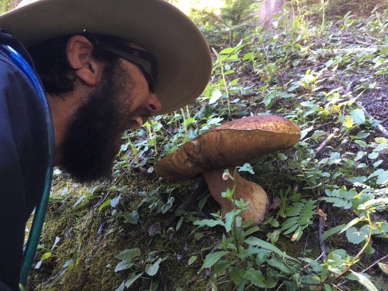
You are both great👏🌟 Seems that you swallow the miles quicker than the huge breakfast😋 but be carefull with tasting mushrooms🙃 Corinne
Hi Corinne. We haven’t eaten any of the mushrooms – we don’t know which ones (of this type) are poisonous. They are just neat to see here because the same ones are much smaller in California.
I’ve been following your blog since the beginning, congrats on finishing Oregon! I hope to hike the trail in 2019 🙂
Hey thanks Mary! 🙂 That’s awesome – good luck on your 2019 hike!