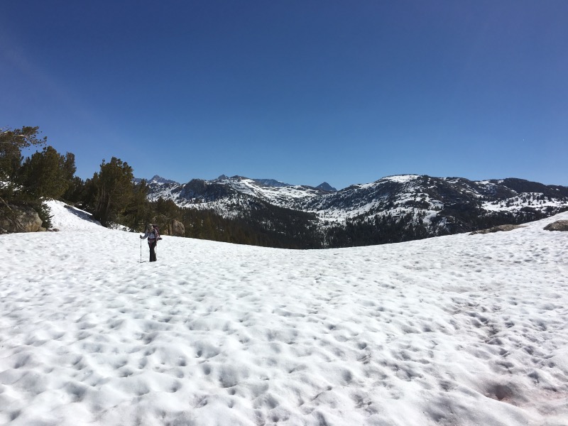
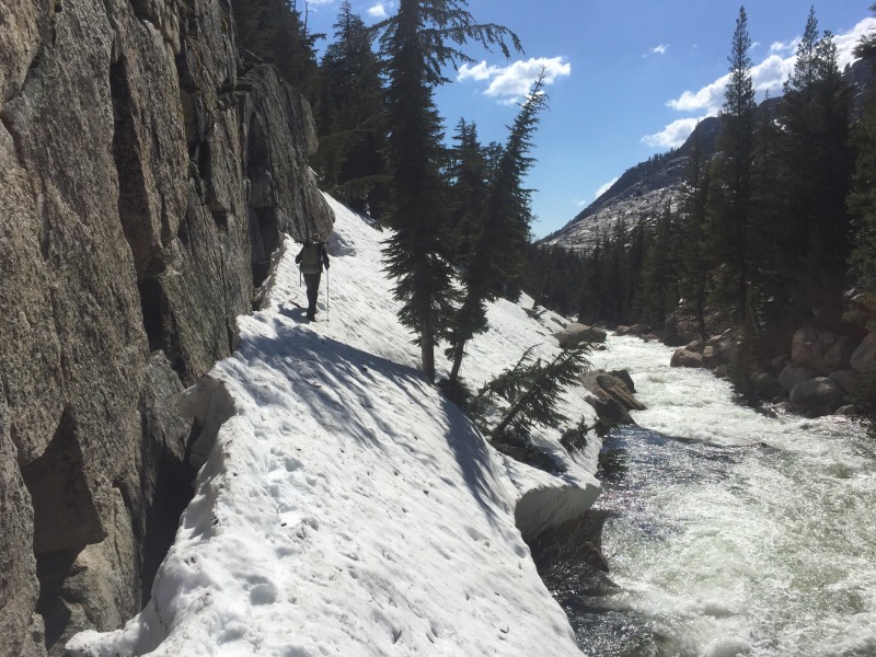
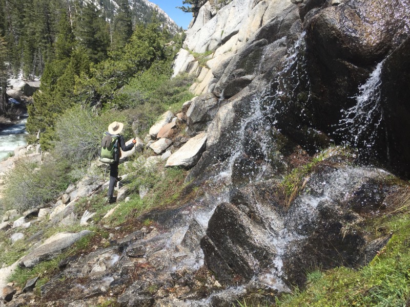
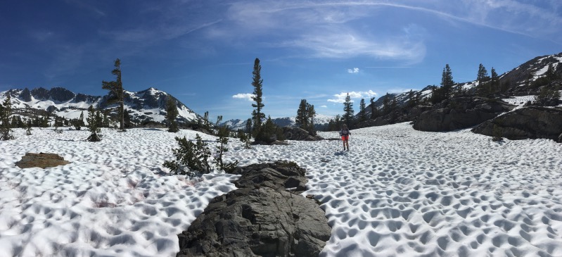
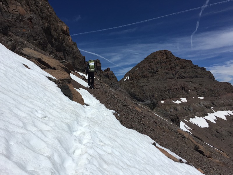
Glen Aulin to Sonora Pass: this was the toughest section of the PCT so far. Every day felt like the most difficult day on the trail. This was the section of treacherous creek crossings, sun cups, post-holing, and water everywhere, especially in the 18 inch rut that is the trail.
When we started hiking on Day 65, we quickly discovered that the water levels around Glen Aulin camp had risen overnight. This seemed strange because we’ve heard it’s always best to cross creeks in the morning- this is when the water should be at its lowest.

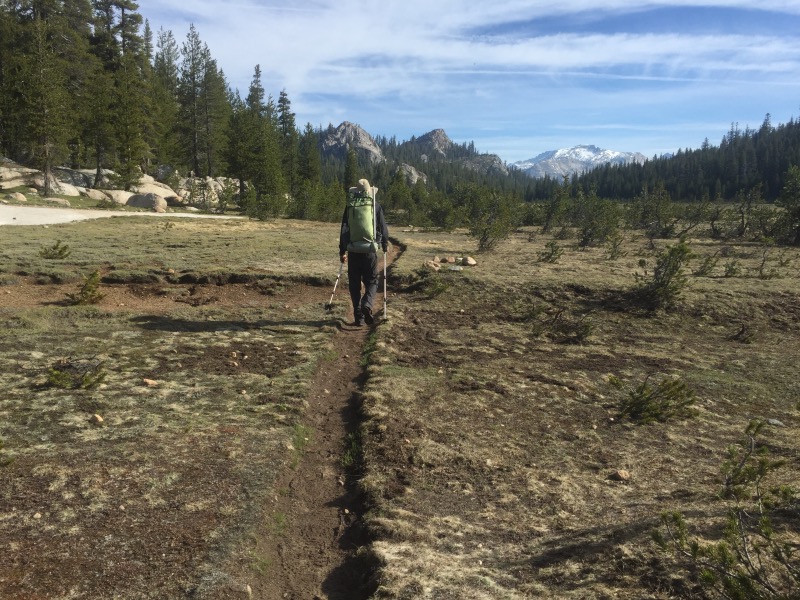
Once we got moving we had several easy and snow free miles. By second breakfast we were eyeing a big mileage day.
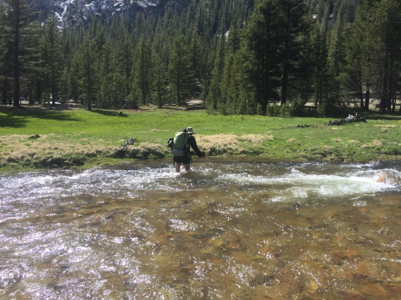
But then we hit obstacles. First we reached McCabe Creek, followed shortly by Return Creek. Both were thigh-deep, raging torrents of water. McCabe Creek was also painfully cold. (Somehow Return Creek was a few degrees warmer.) I found both to be challenging and it took me some time to get across. Rob didn’t have nearly as much trouble – being tall really helps.
A mile or so later we reached Spiller Creek. Aptly named. I lost my footing in the swift current and halfway fell into the water before catching myself. I was pretty unhappy by this point in the day, but the sun was shining and at least I was able to dry off.
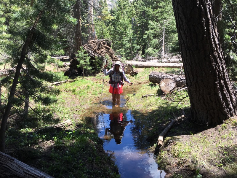
The next several miles were snow covered which slowed us down more. Soon we dropped into Matterhorn Canyon – a beautiful area. Our final crossing of the day was Matterhorn Creek, a wider stream flowing through a meadow.
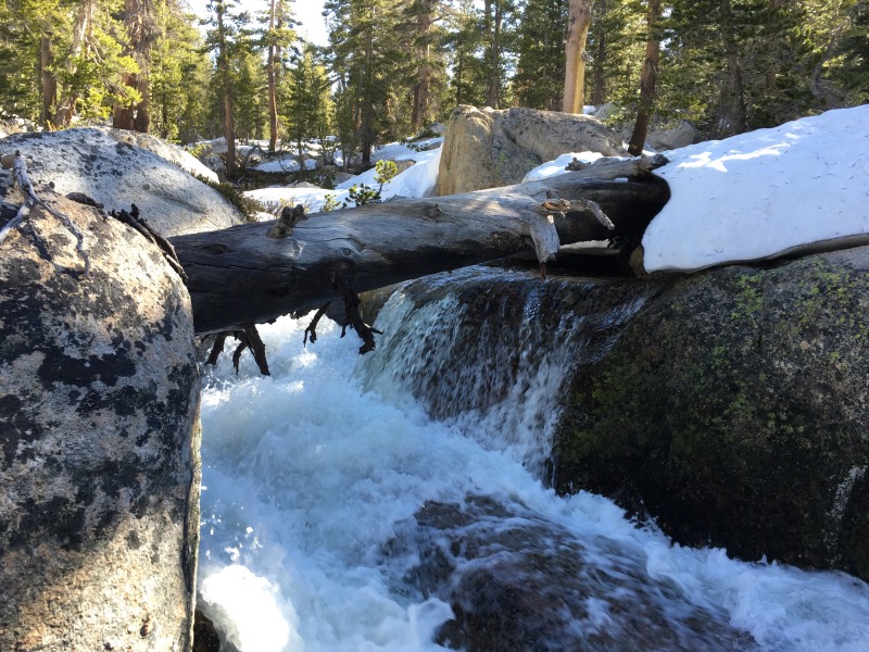
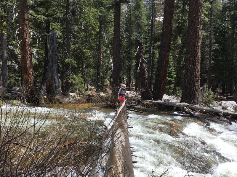
The following two days brought us more of the same! Snow covered passes and lots of water. Some creeks we crossed on logs. Others we waded across.
Rancheria Creek in Kerrick Canyon nearly turned us around. We got to the crossing first thing in the morning and found it to be impassible. The crossing location may have been ideal in the past, but a partially submerged log just upstream has created a deep scour hole.
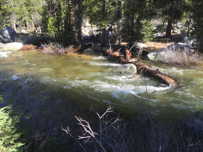
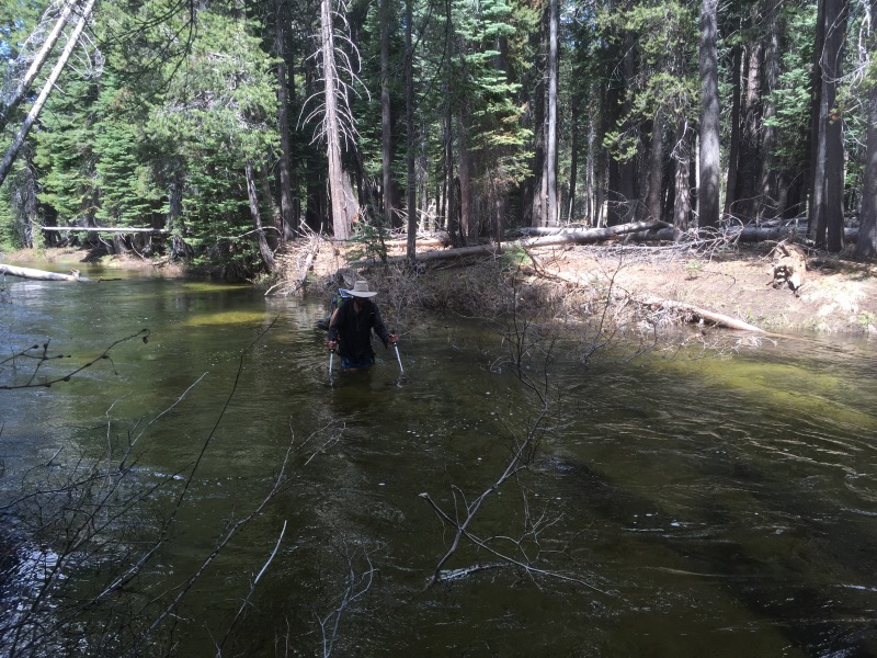
After some searching, Rob found a better place to try and cross just a little further up the canyon. The water was well above waist deep before I reached the deepest section. We quickly turned around and got out. We sat in the sun, defeated. We had come 36 difficult miles from Tuolumne Meadows. We were not eager to turn around, but we didn’t have much other choice. We started hiking back the way we had come. Fortunately, the trail stays near Rancheria Creek for quite some time. We kept looking for a log bridge as we hiked. Two miles upstream from the official crossing, we found a section of creek that was split by a large island. A giant log spanned one side, and we were able to wade across the other side!
Once we made it to the other side, we scrambled two miles back down to the trail.
It had taken us nearly four hours to go exactly zero PCT miles, but we were now on the correct side of Rancheria Creek!

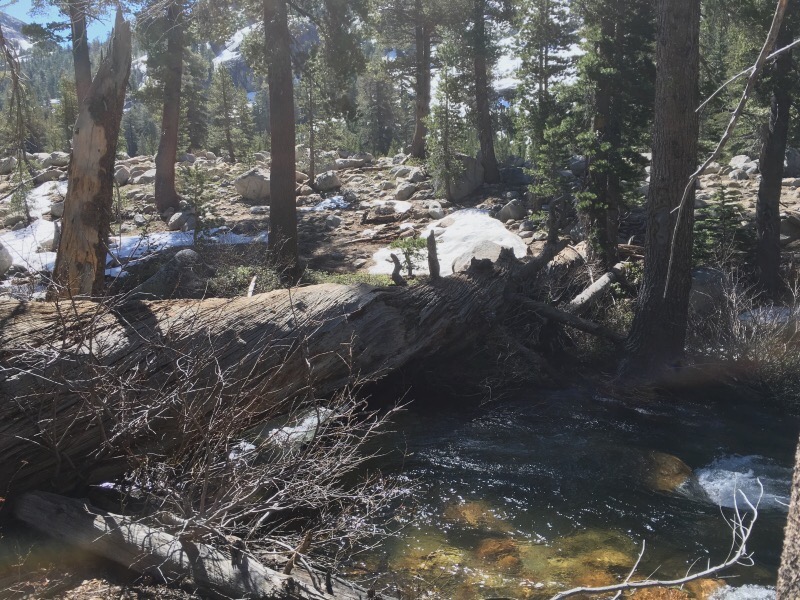
Our last big ford after the Rancheria Creek debacle was Falls Creek. Rob looked at the drainage area on the topo map and immediately knew this would be a tough one. After the trail crosses Falls Creek, it follows it for many miles. This was great – we were able to walk on the opposite side until we found a shallower section of creek.
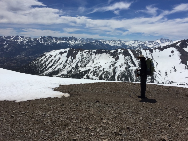
From Falls Creek we climbed up and over Dorothy Lake Pass and exited Yosemite National Park. As soon as we left the Tuolumne watershed (which is basically the Yosemite NP boundary), the terrain seemed a lot less snowy. Even better, there was a bridge over our only major creek crossing!
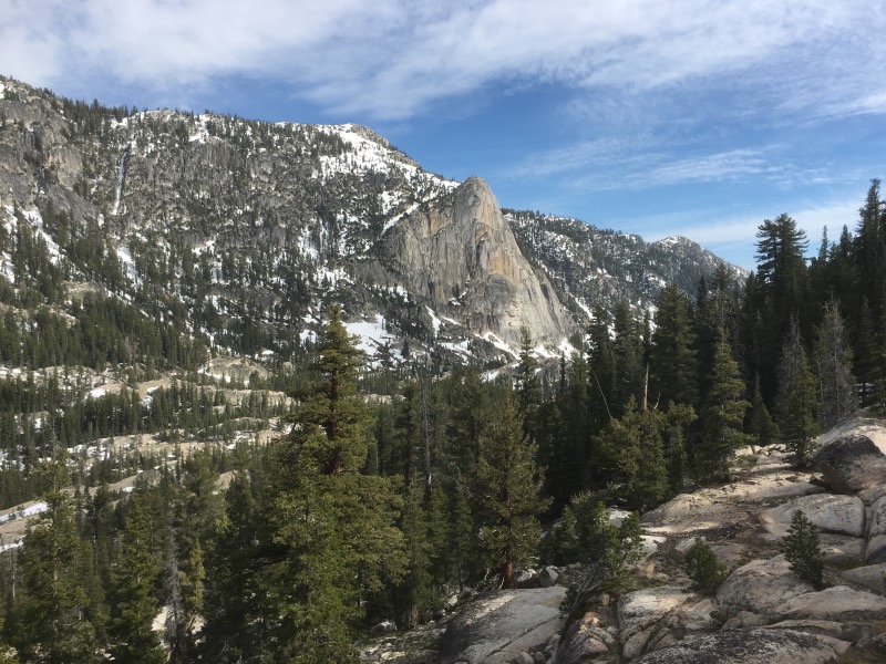
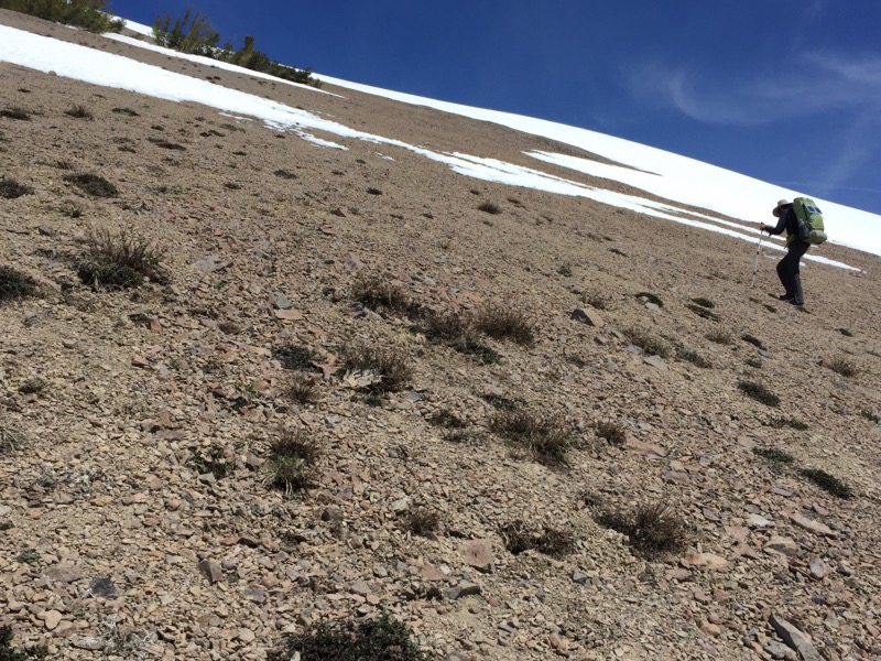
We hiked through the beautiful rocky terrain of the Emigrant Wilderness and made it to Sonora Pass!
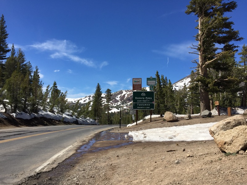
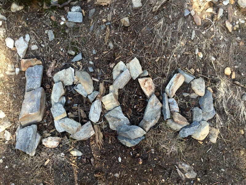
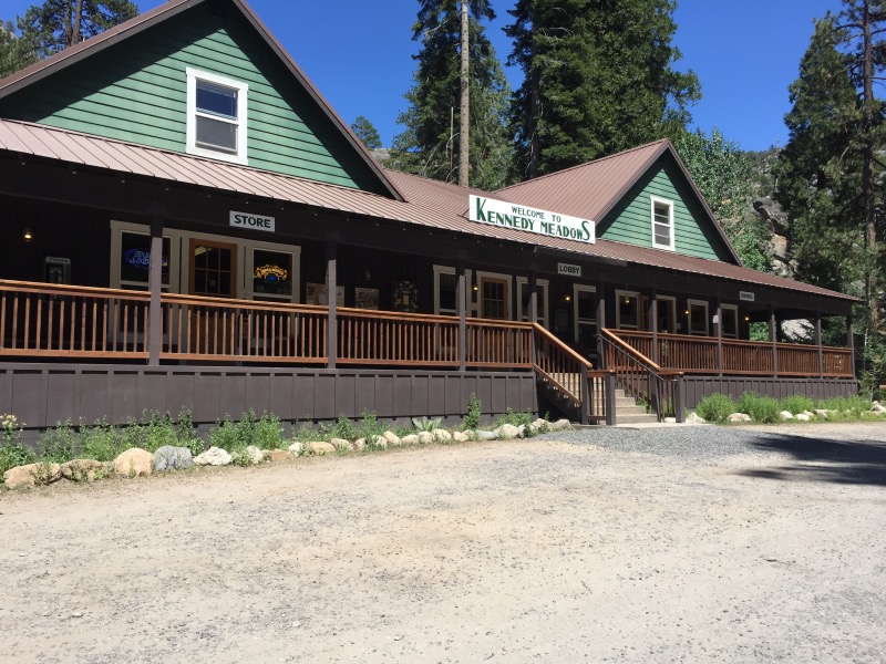
It didn’t seem like a great place to hitch a ride, but the top of the pass is so steep that cars practically come to a stop there anyway. Two drivers going towards Bridgeport stopped just to chat, and the third car going the opposite way gave us a ride to Kennedy Meadows Resort where we are resupplying and taking a much needed zero day.
We are so glad to see you made it safely. Those creeks turned rivers are sketchy!! We are skipping to Belden. We look forward to you catching up with us 🙂
That’s a good decision- if I had known what we were in for, I would have skipped ahead also!
Holey moley, I think the Iditarod would be easier than what you two have just been through! Hold onto your memories of this stretch when you get to the Hat Creek Rim.
I will probably regret saying this, but I am looking forward to some hot, dry waterless stretches of trail! Thankfully, the trail has been much easier in the couple of days since we left Sonora Pass.
I just read start to finish your whole blog. Gotta say..you guys are my heroes! Following your journey is incredible and thank you so much for posting along the way! Can’t wait to read more!
Thanks Natalie!! 🙂