
We took a cab from Ashland back to the PCT. The cab driver spent some time telling us about a machine he built, that could control hurricanes. Rob wanted details and asked lots of questions. I tuned them out. Fortunately it was a quick drive back to the trailhead.
I never sleep enough when we are in towns; I was really tired as we started up the trail. We didn’t have a big climb, but our packs were heavy with a new supply of food and it was slow going. The trail started out less forested than on the way in to Ashland. Long dry grass and oak trees reminded me of the coastal hills of Northern California. Rob kept spotting ticks. As we walked, he used his trekking poles to knock them off the grass ahead of us.
After the first couple of miles, I looked at my map and saw that we were 21 miles from Hyatt Lake Campground. The map described the campground as “3/10 mile N of the PCT with $2 per hiker camping, water, bathrooms, electric outlets and free hot showers.” Another 21 miles seemed like too much with our slow start, but free hot showers! We picked up the pace.
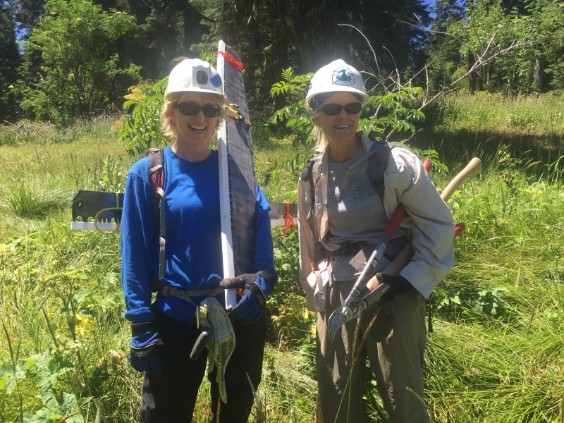
Sometime in the afternoon we came across two PCTA volunteers. They were out doing trail maintenance. We chatted with them for a while. The trail is overgrown or blocked by downed trees in many places. Keeping it maintained requires an immense amount of effort and is mostly done by volunteers.
We made it to the Hyatt Lake Campground as the sun was setting. The showers were lukewarm, but it was still nice to be in a real campground with potable water and picnic tables.

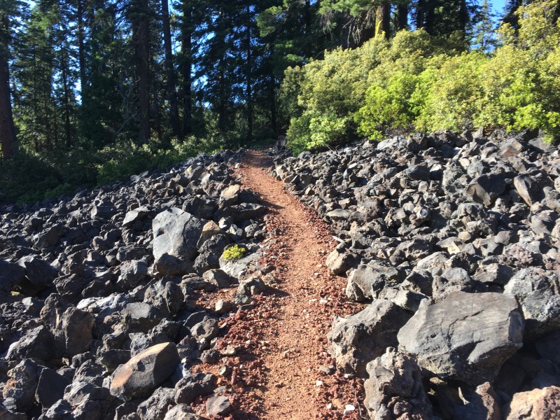
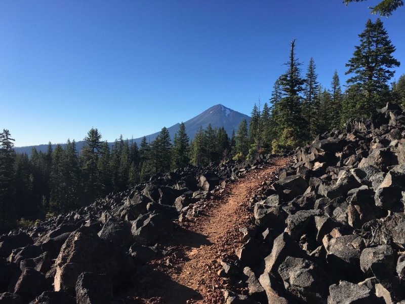
The next day we hiked 31 miles to Highway 140, near Fish Lake. The first 20 miles were heavily forested with no views. The last 10 miles followed a trail constructed atop piles of lava rock.
We reached the highway at around 8pm, after 13 hours of hiking. We crossed the highway, filled up on water, then set up camp a half mile up the trail.
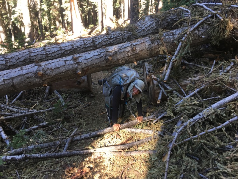
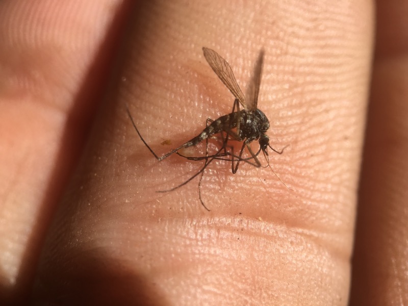
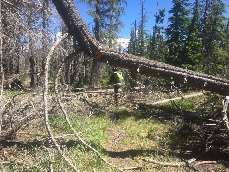
We had heard that the Sky Lakes Wilderness, just north of Highway 140, would be difficult because of all the downed trees. Andy and Laurie (who are hiking ahead of us) counted 300+ downed trees in a 16 mile stretch. Even though we knew this ahead of time, I was not mentally prepared. We spent the entire day climbing over, under and around downed trees. To make matters worse, the mosquitos were out in full force. By the end of the day I was cursing the Wilderness Act (for not allowing chainsaws in wilderness areas) and the Forest Service (for failing to “provide effective management and protection of the trail” in this area). This was by far the worst section of the PCT.
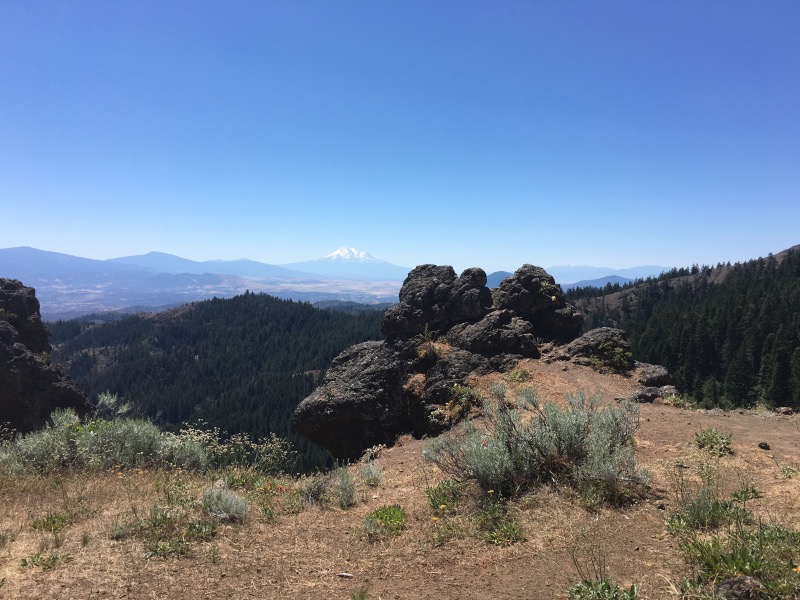
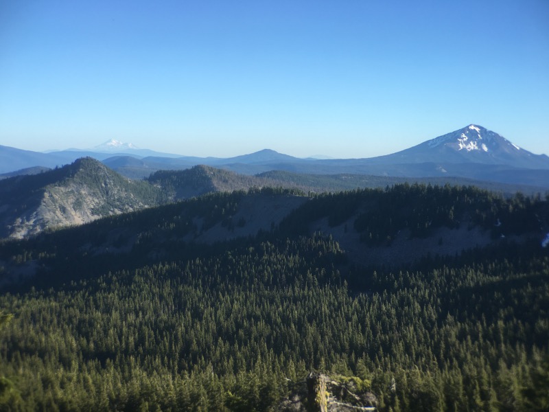
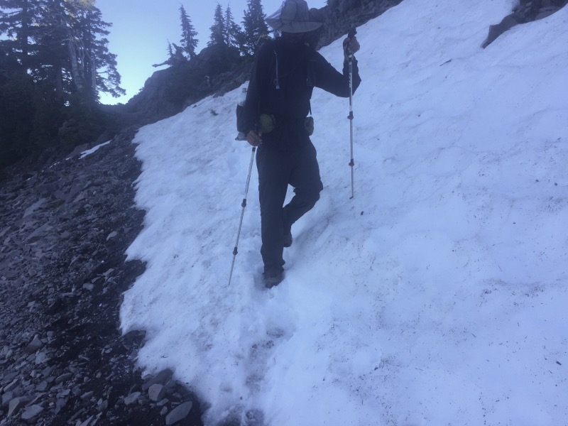
Late in the day, we reached a high point near Devils Peak. We briefly got some nice views before descending down a snowy slope to a seasonal creek where we set up camp for the night.
The following day brought more of the same. Downed trees littered the trail all the way to the Crater Lake National Park boundary. Once we were in the park, the trees were thinner and the trail seemed more maintained.
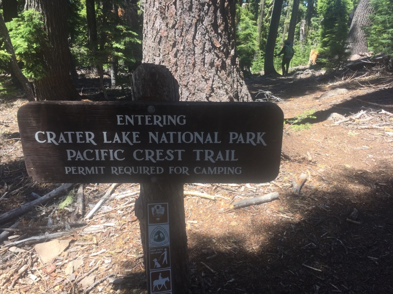
We made it to the campground at Mazama Village by 4pm, leaving plenty of time for laundry, showers and dinner. A number of other hikers were milling around, including several who we had met previously way back at Casa de Luna (Mile 478). We all spent time complaining about the mosquitos, the downed trees, and how boring some parts of the trail are. I felt better knowing that others were also struggling with this section of Oregon. We set up our tent in the hiker camp. The rest of the evening was spent sitting around the campfire, swatting mosquitoes, roasting marshmallows and staying up too late.
Nice photos, Christa. I’ll say it for you – Oregon is overrated. Next thing you know you’ll be cursing Washington. Keep it up. We will toast your continued good fortune at Lagunitas this week. 😎
Haha, thank you. Cheers!
I hope Crater Lake and parts north are more interesting than this last stretch. Just goes to show how much beauty we have here in CA.
Fortunately, the stretch of not-so-stunning trail seems to have been limited to the Sky Lakes Wilderness. Crater Lake was awesome and the parts of Oregon further north have been really nice so far.
Downed trees suck. But the fault isn’t the Forest Service, it’s Congress which fails to give the FS enough money to hire enough trail crews. Speaking as a former trail crew member I wish all hikers would volunteer their time to clear just a mile of trail! It’s really frustrating to have people come in your office and scream at you because of bad trails. At any rate, I hope it gets better. It does get prettier.
I agree. All the trail crews we met were awesome and inspiring. We hope to volunteer next summer. But I do think it’s unfortunate that so much of the trail’s maintenance is done by a patchwork of volunteer efforts. It would be nice if there was funding for seasonal employees to clear the trail in certain sections. But I suppose that just isn’t how the politics of it work.
Y’all are champs! Way to go. We are really glad you had nice weather through the section with the downed trees.
Yes- we were lucky. I don’t know how you guys did that in the rain! That did not look like a good time.