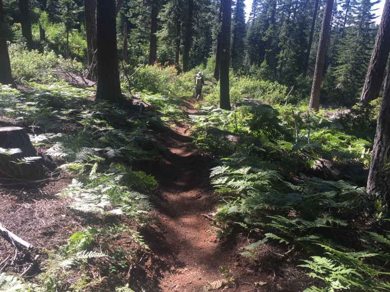
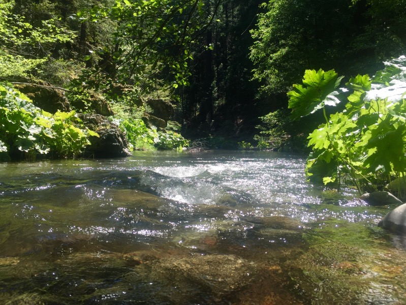
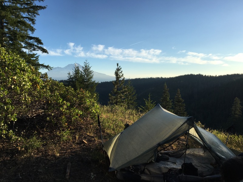
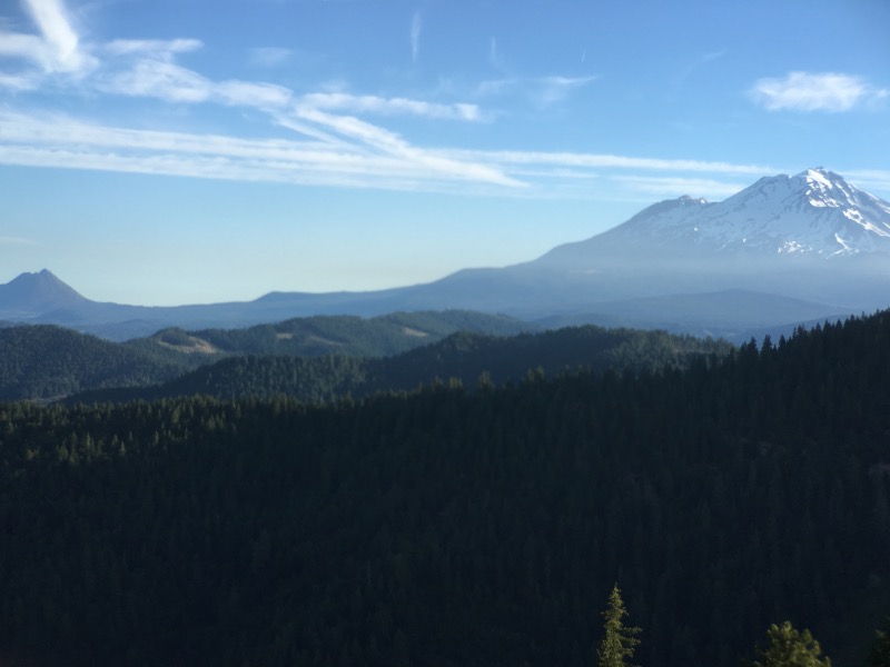
The trail between Burney Falls State Park and Interstate 5 felt like a green tunnel. We spent a lot of time in dense forest, but with brief glimpses of Mount Shasta while we were in burn areas or clear cuts. We also managed to find campsites on ridge tops with good views.
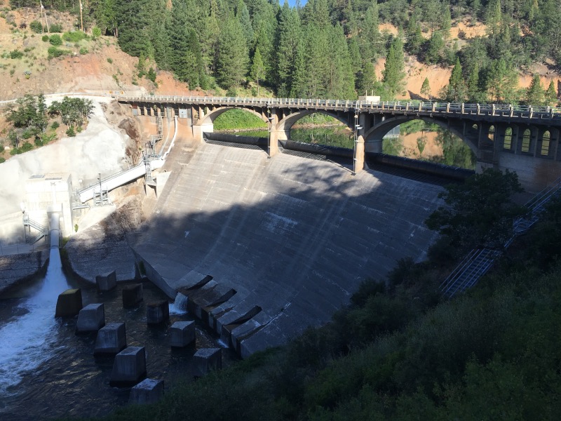
This section links Burney Falls to the Trinity Alps. The trail goes west, rather than north, and doesn’t follow any sort of crest. The elevations are lower, so we hit a lot of poison oak which mostly only grows below 4000 feet. We also saw one rattlesnake! The first since the desert.
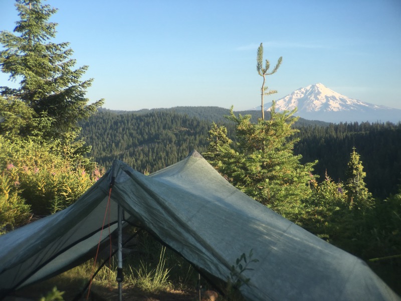
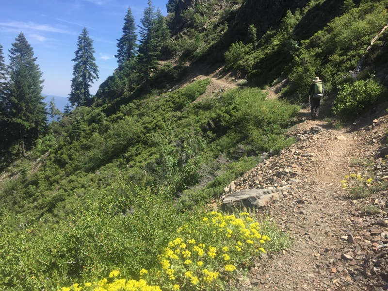
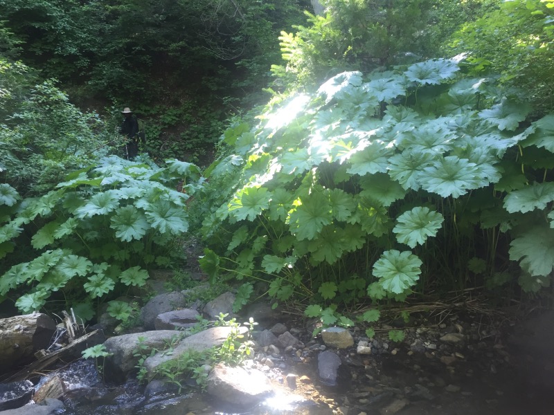
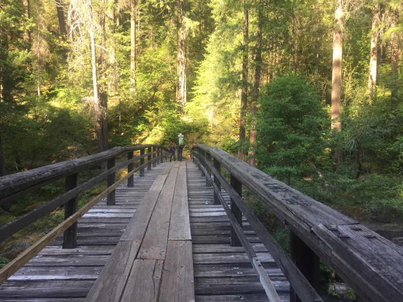
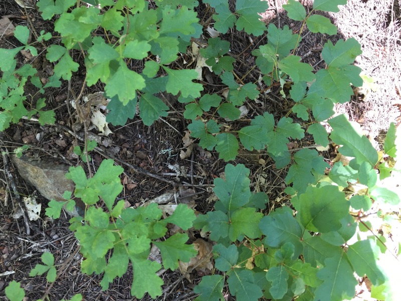
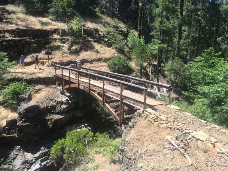
We made it to the town of Mount Shasta in time for their Fourth of July parade. After 12 straight days of over 20 miles/day, we took a much needed half day off.

I love reading your posts!
Y’all are doing great!
Thanks! You two also! I don’t think we’re gonna catch up. 🙂
I dunno..y’all might. You hike faster than we do.
Beautiful mountains….
Just found this blog. Looks like you’re doing well! Can’t wait to catch up/follow your thru hike.
Bon courage
Thank you Sam!
Stumbled across your blog while searching for info on the Sierra Butte Lookout hike (thanks for sharing, we’ll be up there next weekend!) and then saw you are currently hiking the PCT. It looks like an amazing journey thus far! I live in Reno now but grew up in Ashland, OR. Definitely hit up Standing Stone Brewery if you get a chance! Best of luck on the rest of your long walk! I’ll be checking in to see more gorgeous photos!
Thank you for the brewery recommendation! We are looking forward to taking a rest day in Ashland. Have an awesome time in the Sierra Buttes!