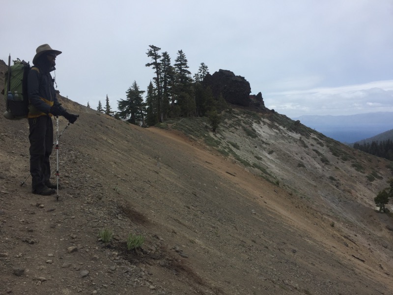
Day 76 started at 1:30am when a gust of wind ripped one of our tent stakes out of the ground. The tent partially collapsed, waking us up. Wind gusts shook the tent violently for the rest of the night. It didn’t let up once we were on the trail.
We spent much of the day traversing the ridge behind Alpine Meadows. It started snowing around noon. Between the wind and the snow, we were getting blasted in the face with ice crystals.
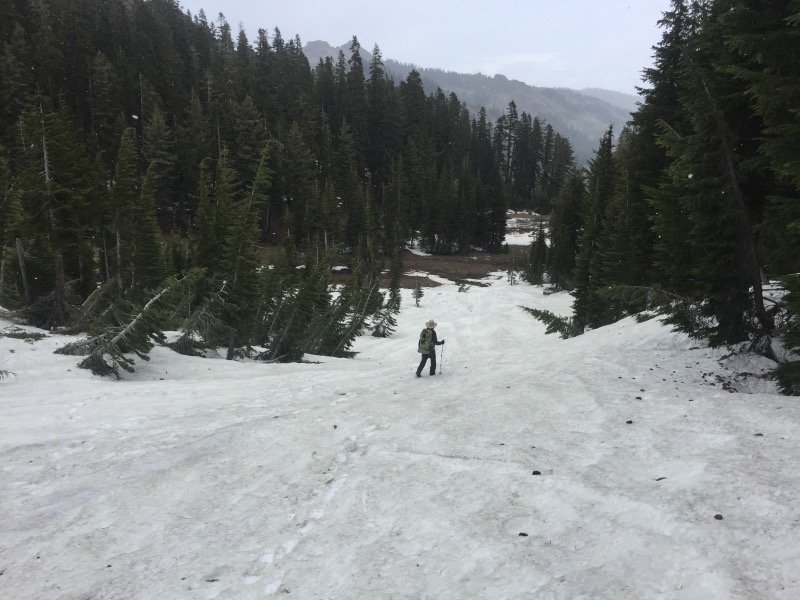
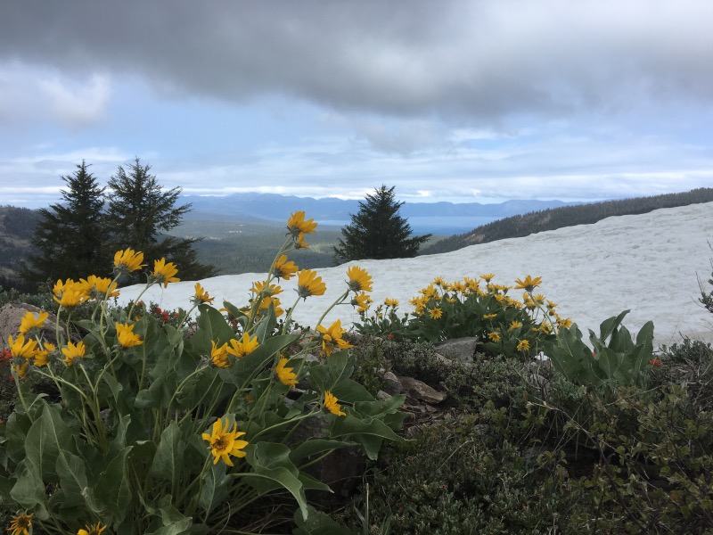
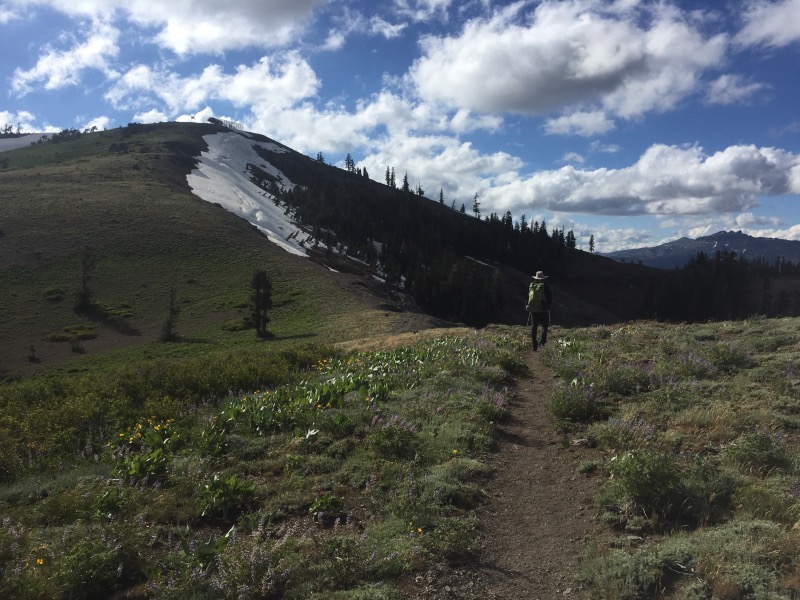
Despite the winter weather in June, we really liked this part of the trail. We had views to Lake Tahoe, which looked like an ocean with all the whitecaps on it. Wildflowers were blooming, and the ridge was mostly snow free! It was too cold to stop walking; we hiked over 21 miles before finding a sheltered campsite.
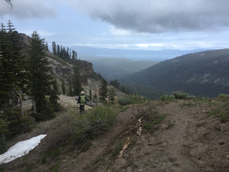
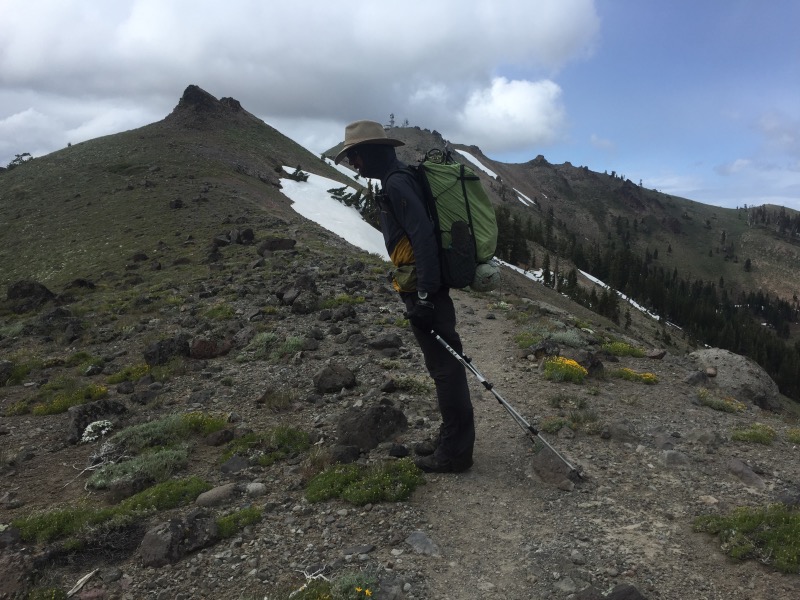
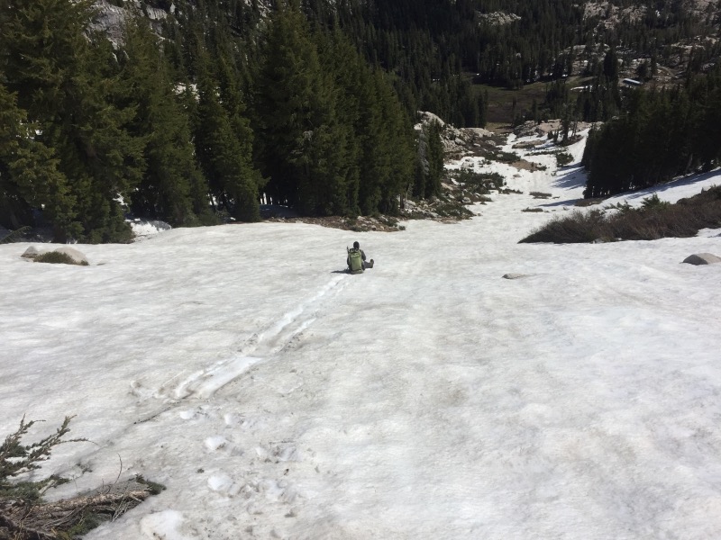
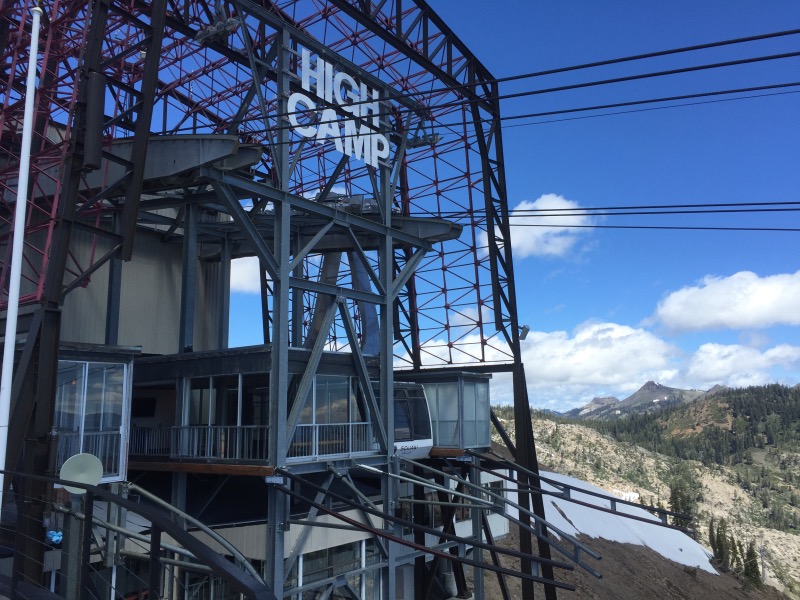
The following day, the sun came out but it was still windy. Instead of hiking all the way to Donner Summit, we decided to cut the day short and exit the trail at Squaw Valley. We hiked up the backside of Granite Chief. When we reached the top of the resort, we slid down one of the ski runs, then traversed over to High Camp. We made it on to the first tram ride down from the mountain.
We had planned to rent a car, but both Enterprise and Hertz had no cars available! Instead, we spent the night in Truckee and took the Amtrak home the following morning.
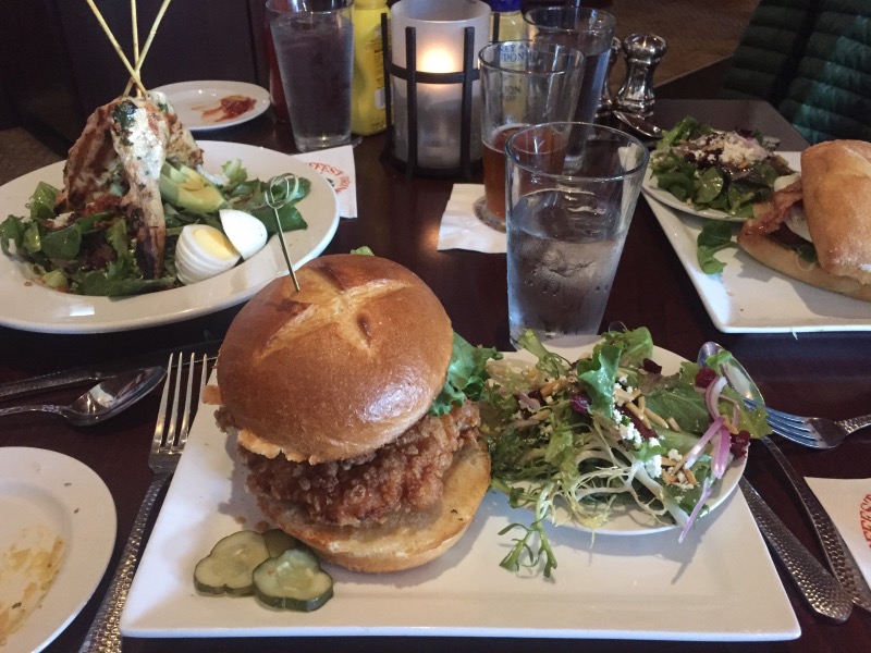
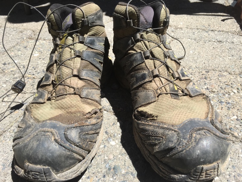
We were home for about 18 hectic hours. We spent 3 hours buying new gear and groceries, 1 hour in the car, 7 hours hanging out with friends, 5 hours sleeping, and 2 hours doing laundry and repacking everything. Not enough sleep, but we left home with lighter packs (no more ice axes or crampons), new shoes, and a good resupply of food.
We retraced our steps back to the PCT: up to High Camp via aerial tram, then up and over the side of Granite Chief. The weather was much worse than it had been two days earlier. In hindsight, we really should have tried to reach Donner Summit before leaving the trail.
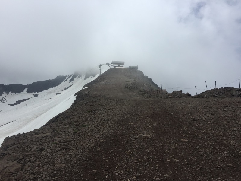
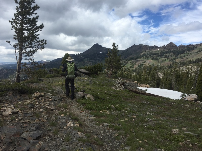
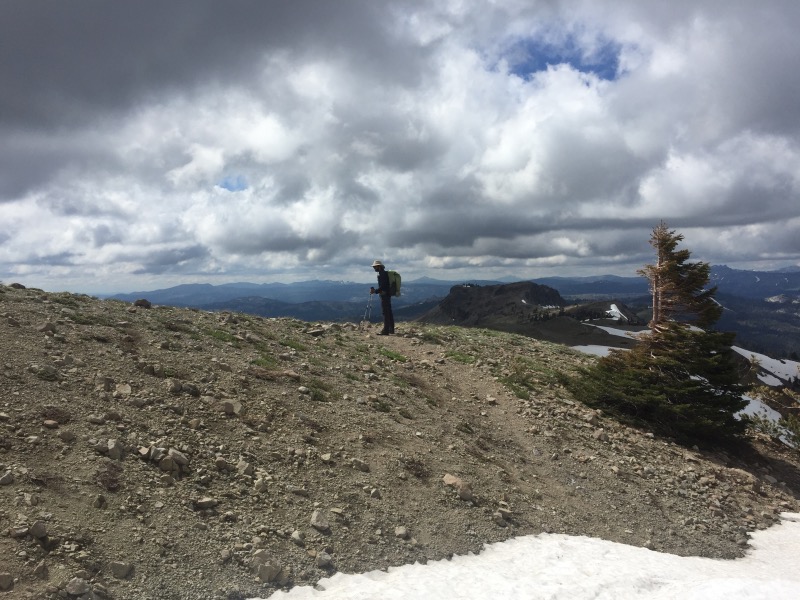
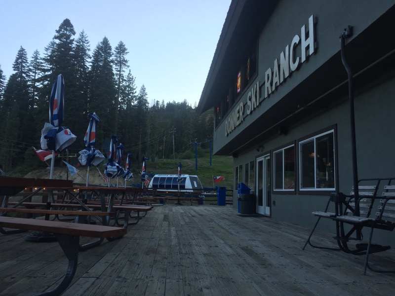
It took us all morning to get back to the trail. Donner Summit was still another 14 miles away, but we pushed to get there so we could stay at the Clair Tappaan Lodge. (I didn’t want to pitch the tent in the wind.) We reached the lodge sometime after 7:30pm and fell asleep almost immediately.

Wow! Great stuff !
I was wondering how you guys were doing while we were tent camping (in the rain) and cycling in a nasty headwind in nearby Sierraville on Saturday. Was wondering what happened to summer too… but of course it’s now 100+ in Sac. Better weather ahead for you I’m sure.
Yes, it’s getting hot!