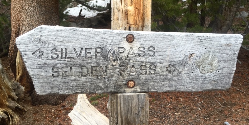
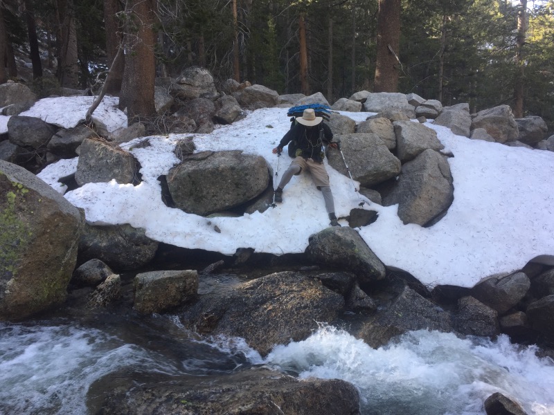
After Muir Pass, we only had to get over two more major passes to get to Mammoth Lakes, our next resupply location. Selden Pass (10,910′) and Silver Pass (10,750′) are both about a thousand feet lower than Muir, Mather and Pinchot Passes.
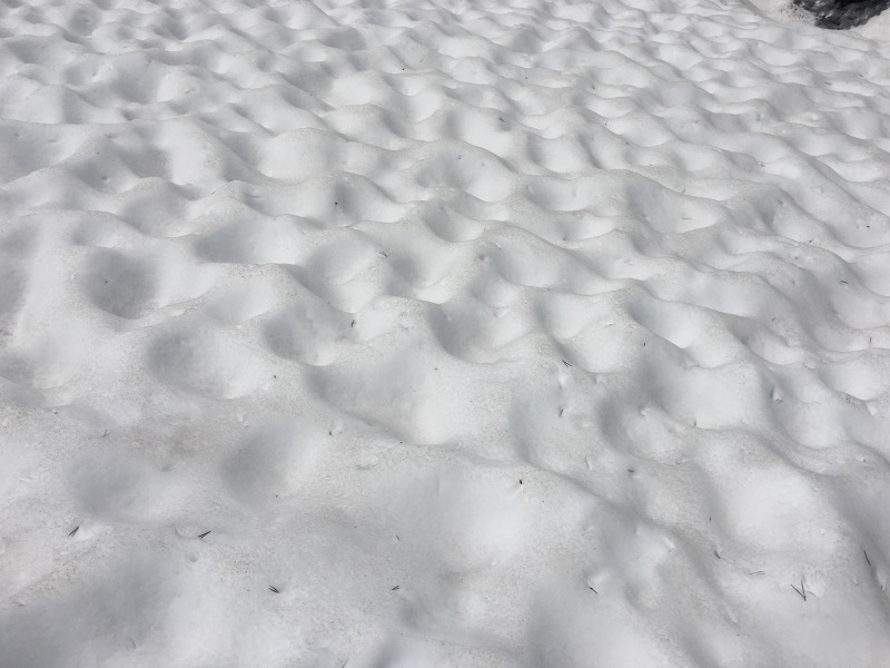
Both passes were a little easier to get over, but there was still plenty of snow.
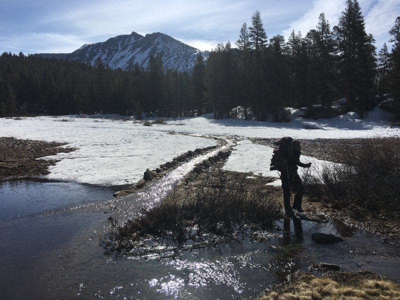
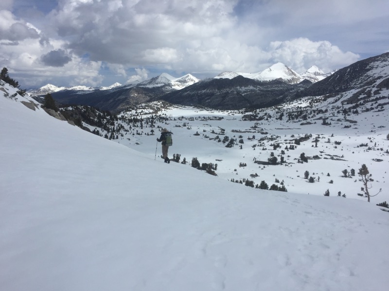
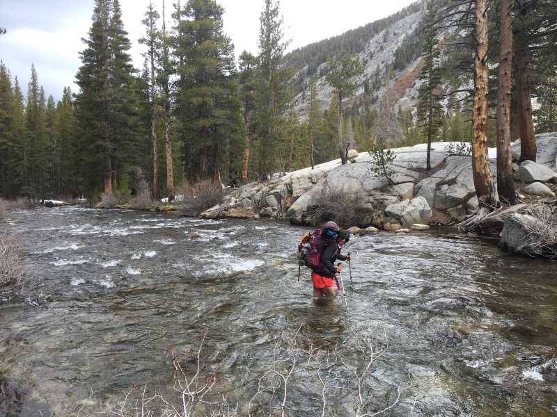
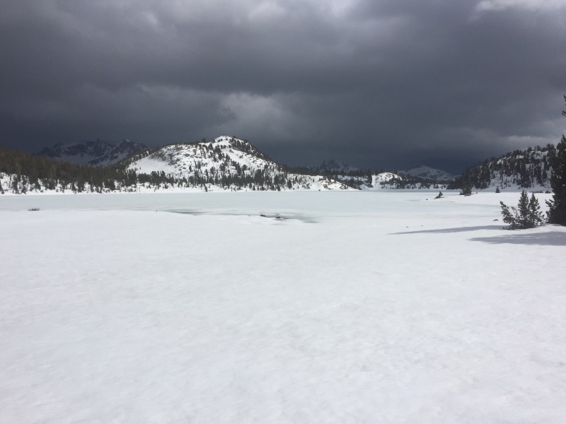
Every afternoon, the clouds built up, but we got lucky and it never really rained or snowed on us until after we set up camp.
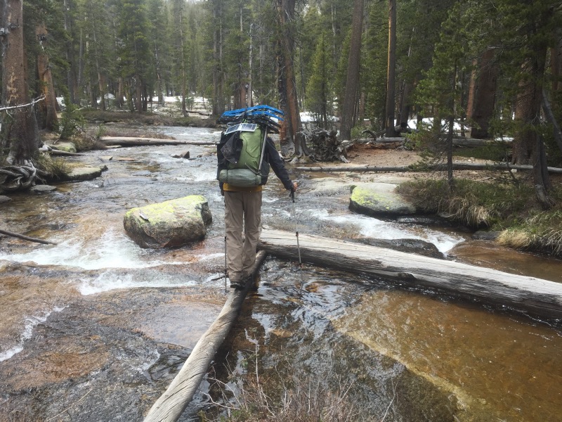
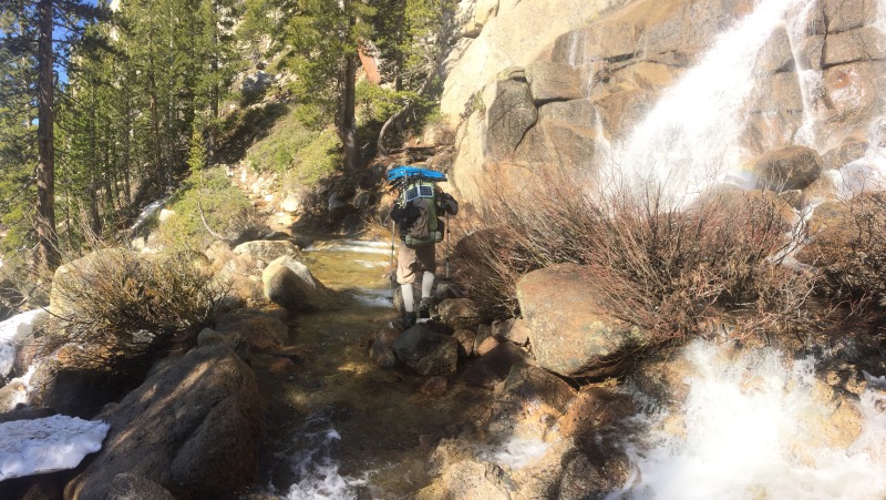
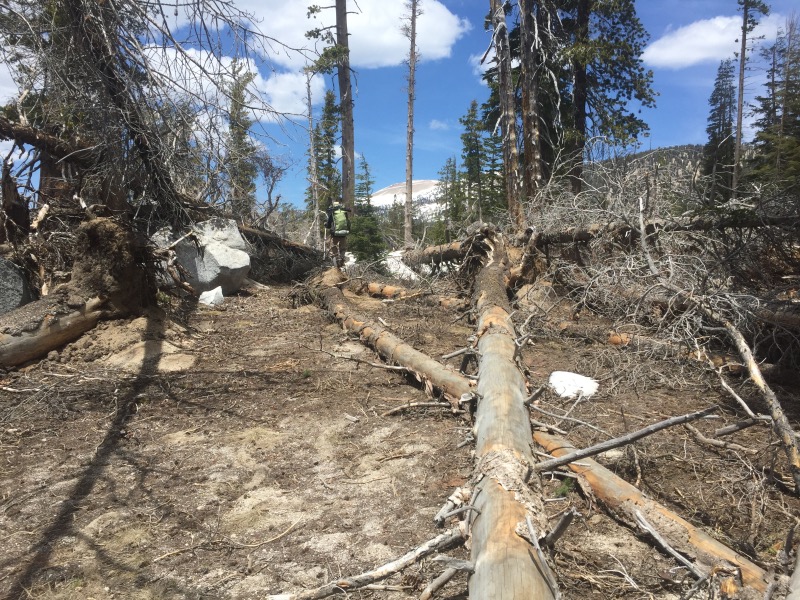
The most difficult trail section in these last few days was actually between the PCT and Mammoth Lakes. With Red’s Meadow (the more popular exit point) still closed for the winter, we planned to take a side trail from Crater Meadow to Horseshoe Lake. We ran out of food around midday when we reached Crater Meadow. This seemed like perfect food rationing – we only had about four miles to go before reaching town. But those last few miles took over four hours! The first spur trail we took to Horseshoe Lake is apparently no longer maintained. We spent a good hour climbing over downed trees and post-holing through deep drifts of snow. Eventually we reached a more maintained section of trail, but by that point we were hungry and exhausted.
As we finally approached Horseshoe Lake, we met a local day hiker who welcomed us to Mammoth and gave us info on the best restaurants, hotels and local transit. Yay civilization!
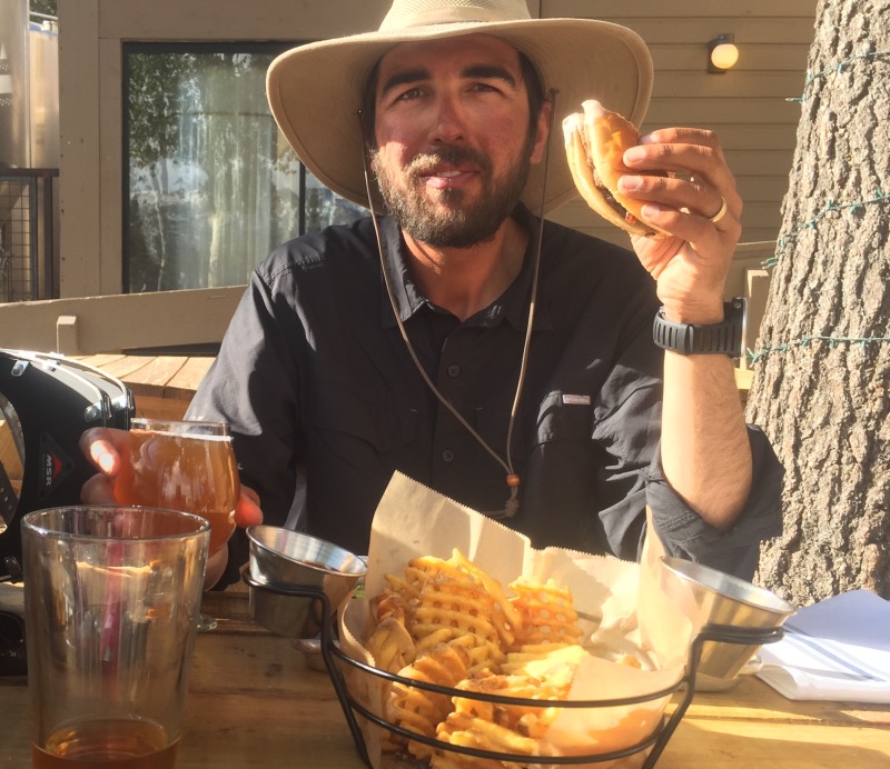
We walked about a mile down the road to Pokonobe Marina where a free trolley took us straight to Mammoth Brewing Company. We ate a lot of delicious food and recovered with a couple beers.
That area headed into mammoth is no joke! Apparently there was a micro-burst there a few years ago that knocked down all the trees. The weather monitoring station there has wind sensors… they maxed out! 100+ MPH winds!
Wow, that’s nuts! A lot of the trees looked to be damaged by bark beetles as well, and the drought stress likely didn’t help. What a mess.
I love your guys posts, so awesome to follow your progress. It look incredibly challenging with the recent weather and the decent snowpack this year. Great job!
Thanks Jason! Fortunately the weather is finally starting to get warmer.
Congratulations for your wunderfull picks & all your efforts to walk on this snowed trail! It reminds me of trecking in Zanskar (north of India)🌁Have a good rest, recharging with food & sleep in a real bed… Keep smiling😊 Corinne
Thanks Corinne! 🙂
Rob, you have a raccoon look about you.
Lol, yeah snow is really bright.
Great going. My personal favorite Mammoth Beer is the 395 IPA. They don’t distribute much so I can only get it when I’m in the area. Just left Desolation Wilderness June 4. Saw one PCTer going in as i was leaving and 3 more in South Lake Tahoe. I told them there was lots of snow up there, 3 to 5 feet, then realized they had just been through worse. It’s warm though, so maybe it’ll be a bit melted out by the time you get here. Only trouble was finding a place to camp that wasn’t covered in snow or snow melt.
Hiked into Desolation Valley today via Horsetail Falls, saw a number of isolated snow banks but it looked like much more than 50% snow-free (but we only went as far as Ropi Lake). As Mike B says, it was toasty up there so things are changing fast. Hope your swing through Tuolume area is going/went well.
I am enjoying your postings so much. Your adventure is awesome….
Um, are they okay? It’s been a week since their last post….
Is it time to organize a search party yet? 😉
We’re good! The stretch from Mammoth to Tahoe has very limited cell service!
This is closest to us! I’m loving reading these posts!
Thanks Katie! That’s such a beautiful area!