
It was nice to sleep in a little bit – our ride back up to the trail left Etna at 8 am. When we reached the summit the trail was exactly as we left it – socked in a cloud.
We walked for a little bit. I expected that somebody might have made a 1600 mile marker out of all the rocks laying around, but we didn’t see one. In the desert, there were mile markers every 100 miles. After the 1000-mile mark, it’s just the halfway point and the state lines that are noteworthy. I guess it makes sense to ignore 100-mile markers since we can knock out that mileage in 4 days.
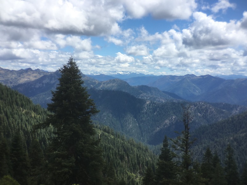
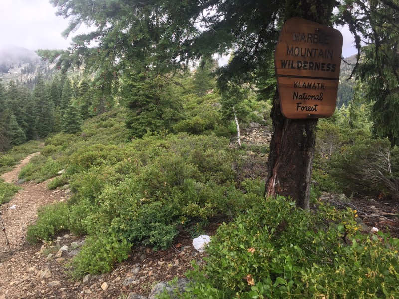
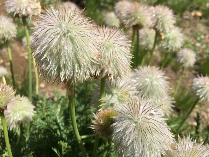
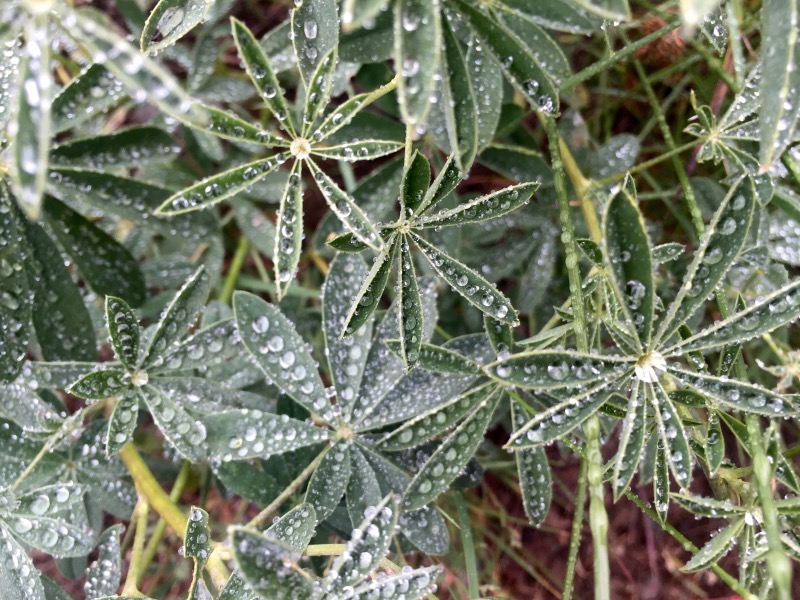
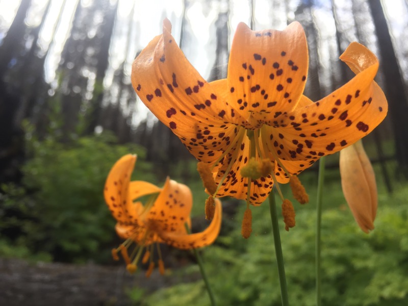
The fog kept our eyes fixed on the ground. No grand views, but we saw many flowers in bloom, covered in dew.
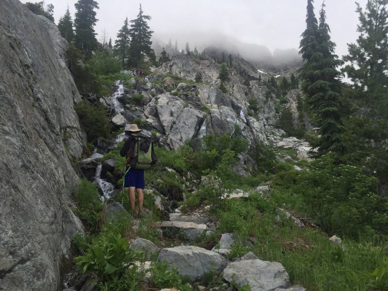
Around midday we traversed over to the northeast side of the ridge. Here we experienced something we haven’t seen since the Sierra: lots of water! There were numerous snow patches clinging to the marble cliffs above us, melting in dozens of streams and waterfalls into the trail for a few miles. When we reached what we thought to be the last of these streams we filled up for camping and began climbing back up to the ridge. This took us right back up into a cloud, which is too bad because there was supposed to be a cool view of Man Eaten Lake.
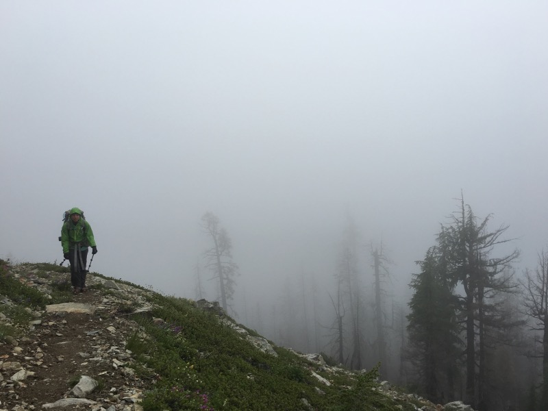
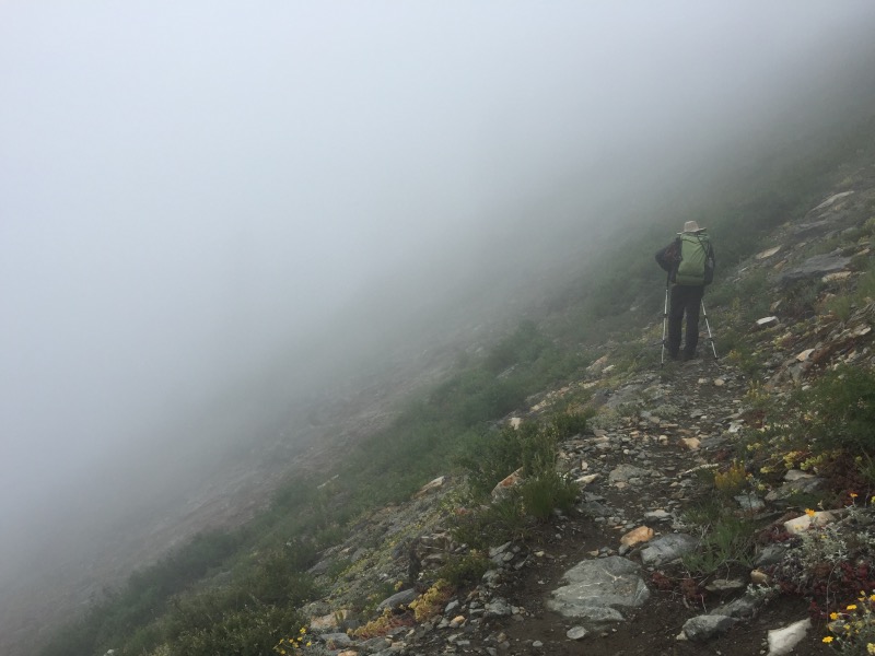

We climbed along the ridge for a few miles. At one point it looked like we found a break in the clouds but it didn’t last. We camped on the ridge in the fog.
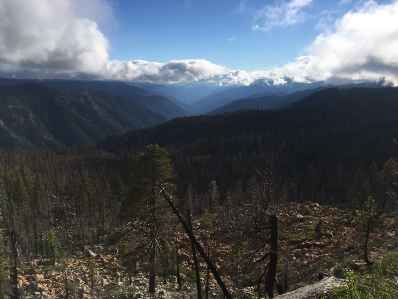
Everything was wet when we woke up. We packed up and started walking to warm up. Soon we were both soaked from the knee down, due to all the wet vegetation crowding the path. Sometime in the late morning we stopped for our first break and the sun was sort of half out by then so we didn’t shiver.
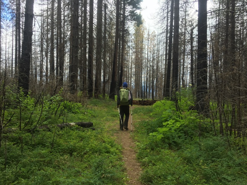
We walked along a ridge in the Marble Mountains for the rest of the afternoon, then we began the long descent down to Seiad Valley. We thought with the last ten miles being downhill, it would be easy. It wasn’t. Our descent was slowed by the heat, the downed trees, the poison oak, and the fact that there was actually a lot of up and down in this all-downhill section.
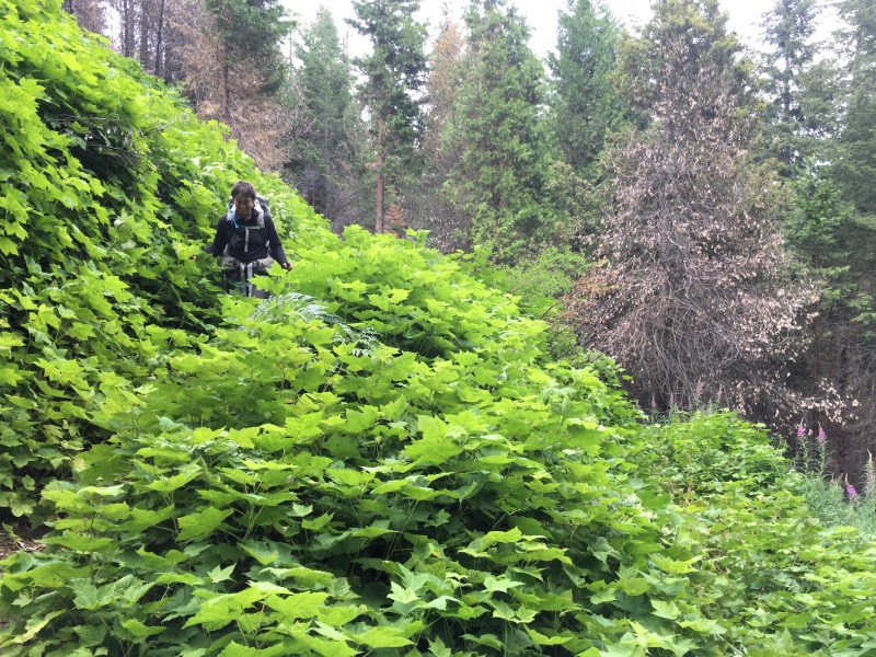
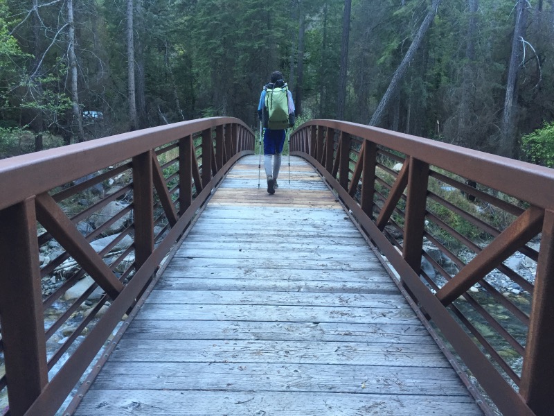
We made it to the Grider Creek Campground by about 8pm, after 29.5 miles – our longest day yet. A local guy named Mike was camped in a site close to the trail. He waved us over and offered us cold beers! After the beers and chit chat we set up camp, ate dinner, and slept quite soundly.

Great pictures and write up. Glad to hear you still come across cold beer at unexpected times!
Your posts and pics continue to be great. Always enjoy reading them. It seems the PCT stays at elevated heights and on ridges as much as possible.
I just LOVE your pics. Especially the life along the way (flowers and frog). Just gorgeous.
Thanks Patti, we saw so many of those toads on the trail we were tiptoeing not to step on them. The flowers have been amazing but photos rarely do them justice.