We left Chester in a tow truck! We were hitchhiking on Main Street when a tow truck driver at a nearby mechanic shop asked if we were trying to get to the trailhead. He was heading to Chico to drop off a car, so he gave us a lift on the way.
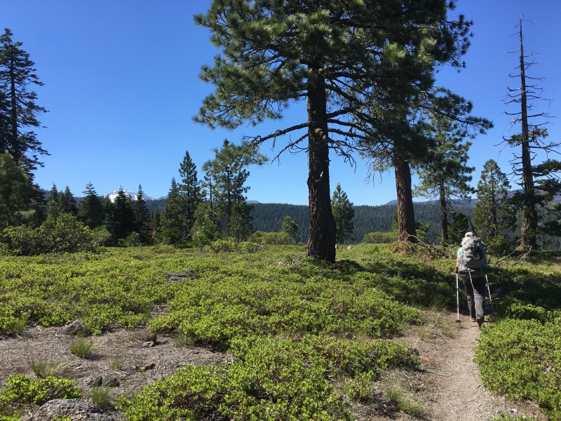
The trail north of Chester was mostly forested. A little boring, but relatively easy hiking.
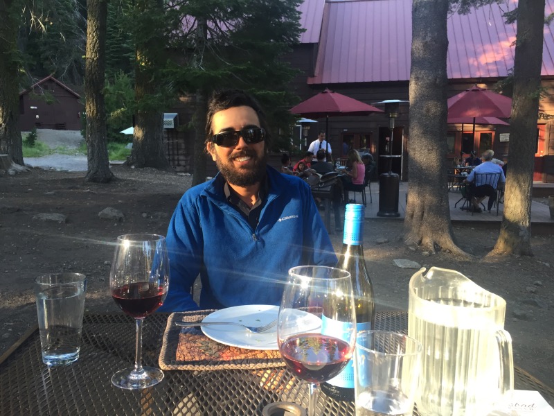
In this section, we hiked through Lassen Volcanic National Park. Soon after we entered the park, the smell of sulfur wafted through the air. We walked past Boiling Springs Lake and reached Drakesbad Guest Ranch in time for dinner. Meals there usually require a reservation, but they managed to find space for us.
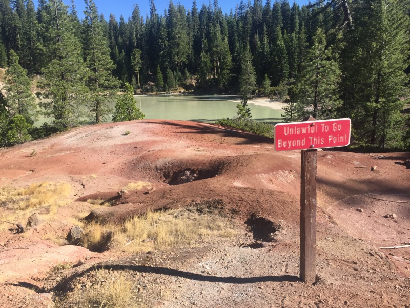
We set up camp at the nearby Warner Valley Campground. Sometime in the middle of the night, the wind changed direction and we both awoke to a strong smell of sulfur coming from Hot Springs Creek.
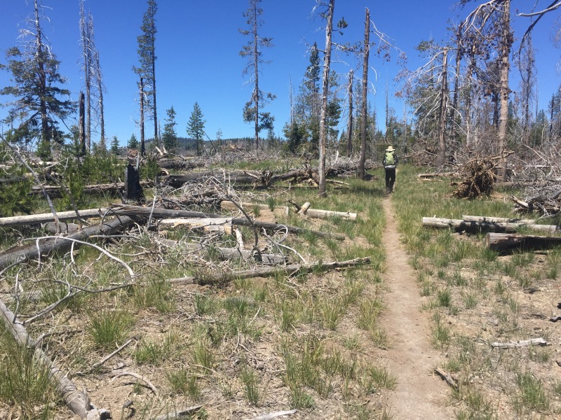
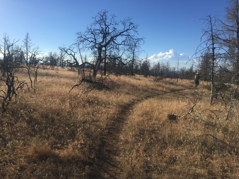
The following day was… mosquitoey. We walked past a few lakes, then into a burn area, then out of Lassen National Park.
We took a break at Hat Creek to wash the dust off our feet, then we continued on to the tiny town of Old Station.

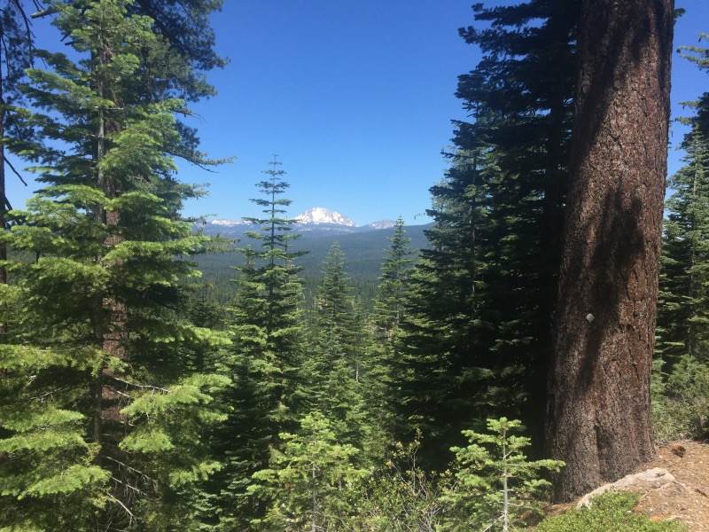
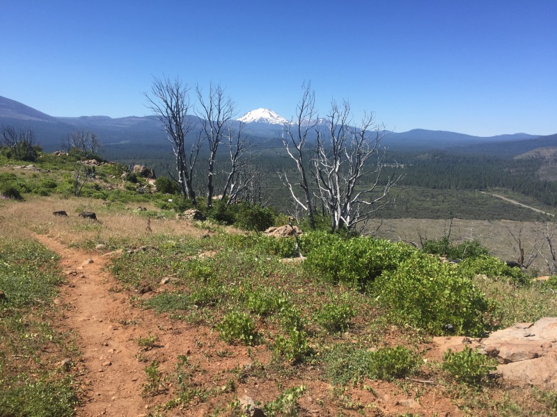
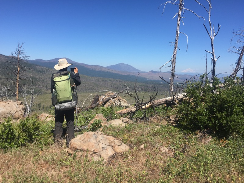
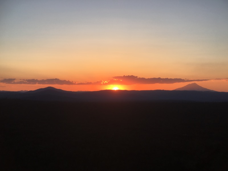
From Old Station, the trail follows the Hat Creek Rim – a waterless stretch of approximately 30 miles. We could see Lassen Peak behind us and Mount Shasta ahead of us. It was hot and dusty, but we both really liked this section because the views are incredible.
At Mile 1391 we reached Cache 22 – a water cache at Forest Road 22. This cache isn’t being maintained regularly this year, so there was no water. We took a long break in the shade. While we sat there, a hiker named Icebox approached us and asked if we wanted some water. She had cached several gallons for herself somewhere down the road, and she was leaving what she didn’t need at Cache 22. It was really hot, so we each took an extra liter.
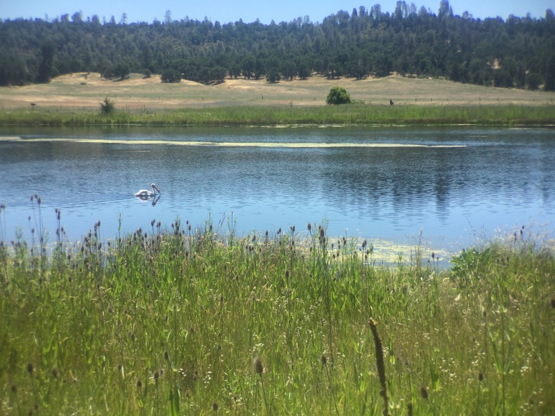
After a gradual descent from Hat Creek Rim, we walked past Baum Lake and the Crystal Lake Fish Hatchery.

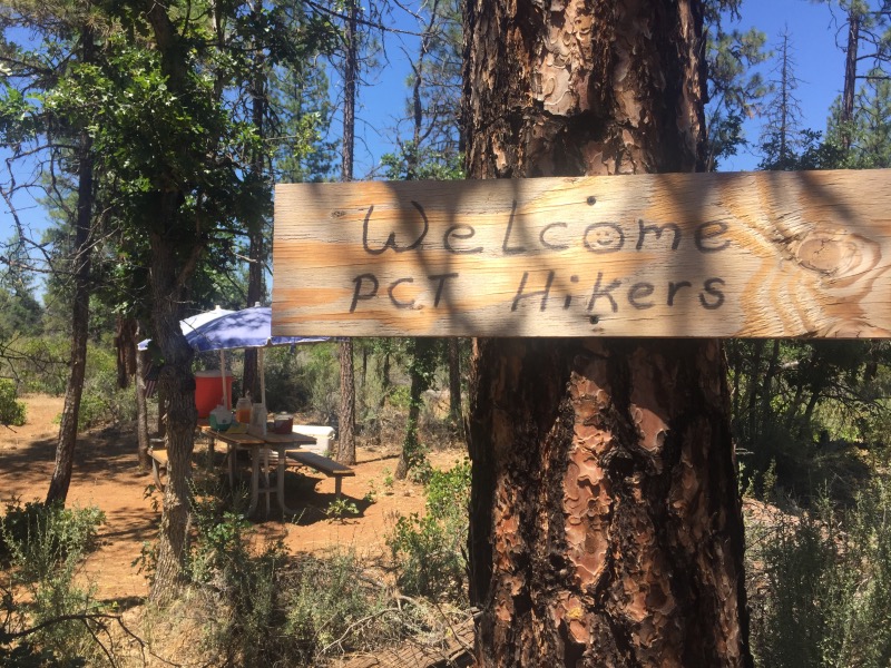
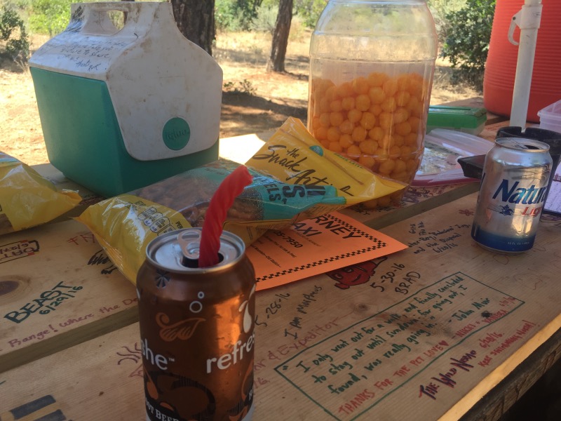
Somewhere around Mile 1409, we stumbled upon the Wild Bird Cache! A local couple, Randy and Kathy, set up a picnic table and ice chests with cold drinks! Randy walked by while we sat and enjoyed cold sodas and cheese puffs. He was out looking for a cow that had escaped overnight.
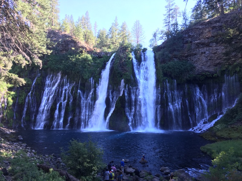
From Wild Bird Cache we hiked about 7 more miles to Burney Falls State Park where we are staying for the night. We managed to resupply at the general store – enough snacks to reach Mount Shasta in a few more days.
Wow looks like you were really roughing it @ Drakesbad…ha ha great pics! Keep on trekking
Thanks Tom. Drakesbad was a pretty nice place for a brief stop. 🙂
Now that it’s so hot, I hope you have time to go for a swim!
This trail seems to actively avoid passing by lakes, but I think there will be some coming up in the Trinity Alps. Looking forward to swimming!
Guy and Gal looking great. Keep on roughing it!
Nice work! You made the Hat Creek Rim look easy.
Thanks Mike! It was definitely hot, but since the trail is mostly flat, it didn’t seem too bad!
Ich bin immer noch mit euch. Christa, jetzt musst du wohl vom kalten Schnee träumen!
Mit Spannung warte ich auf jeden Bericht von eurem unglaublichen Fussmarsch mit den eindrücklichen Landschaftsfotos, doch eure Gesichter (manchmal mit Bier) freuen mich. Mit euren „3.7 million steps” habt ihr wohl bereits den Durchschnitt vieler Personen für ein ganzes Leben erreicht. Christa and Rob have a safe trekking.
Thanks Fritz!