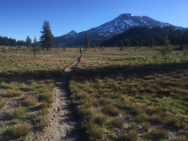
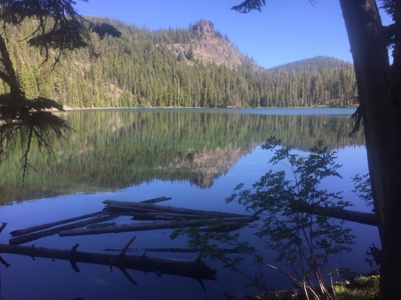
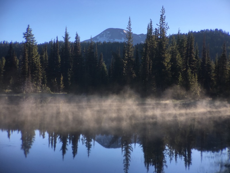
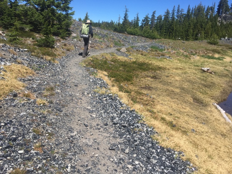
The trail gets progressively more scenic going north from Shelter Cove. We crossed Highway 58 near Willamette Pass and soon we were hiking in the forest, past the many lakes within the Willamette National Forest and Three Sisters Wilderness. The mosquitos were pretty bad, but with our head nets on, they mostly didn’t bother us.

We saw a lot of other people backpacking on this stretch of trail- some thruhikers, a few section hikers and many locals just out for a few days.
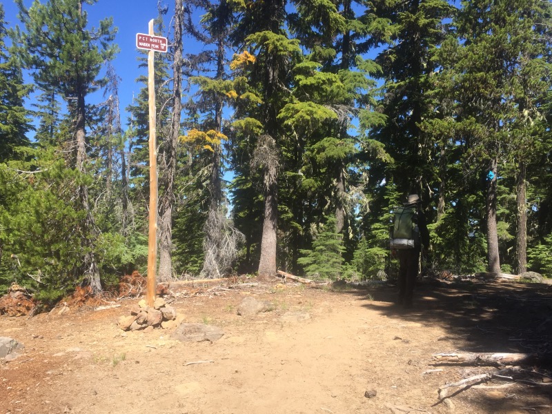
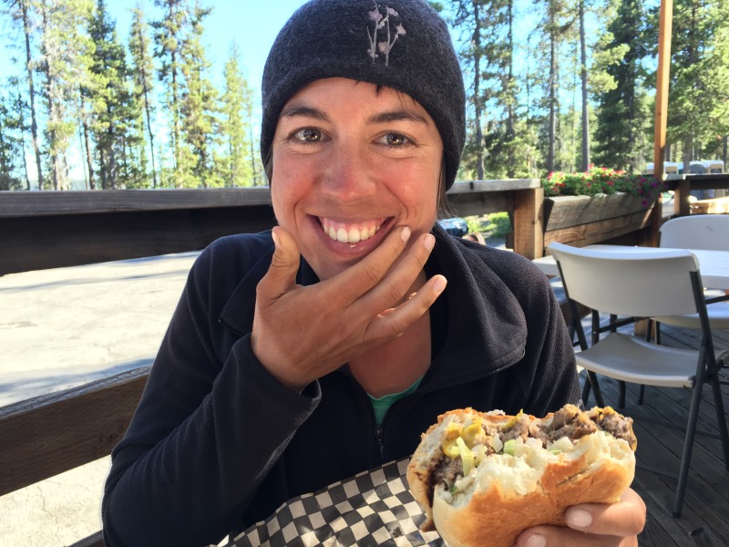
Somewhere around Mile 1950, a spur trail departs the PCT and goes down to Elk Lake Resort. We didn’t plan to stop at Elk Lake because it’s a mile off the trail. We were both really hungry when we reached the spur trail. It was 4:30pm and we still needed to hike another five or so miles, but restaurant food sounded so much better than energy bars. We turned down the spur trail and got burgers and milkshakes – they even had huckleberry milkshakes! It was definitely worth the detour. As we were leaving, we met a hiker named Fixie who is hiking this section southbound. She told us the mosquito situation would vastly improve after Sisters Mirror Lake (just a few miles to the north). This made me happy.
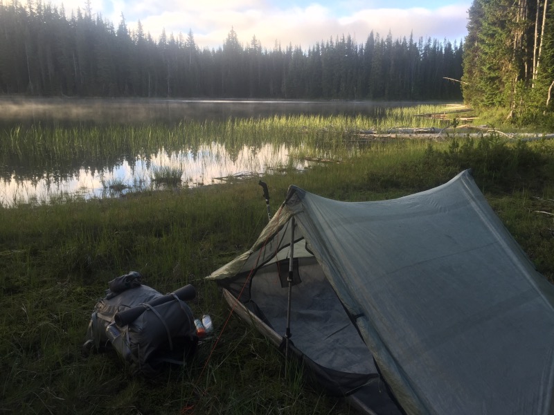
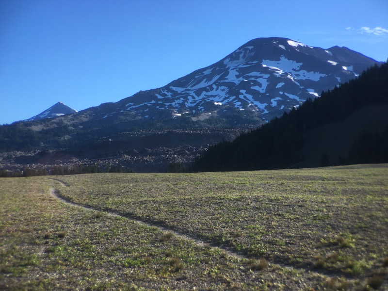
We hiked back to the trail, finished our planned five miles, and set up camp with a view of Mt Bachelor.

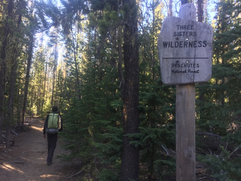
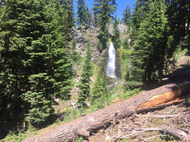
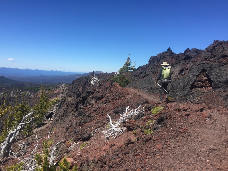
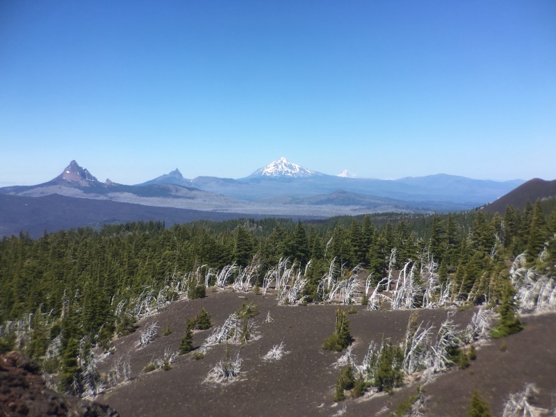
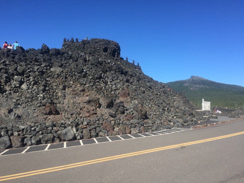
When we awoke, we had a long 27.4 miles to Highway 242. We planned to meet Rob’s aunt Kim at the Dee Wright Observatory, at 5:00pm. This section of trail was beautiful. We walked past the Three Sisters and through the Obsidian Limited Entry Area (a totally unglamorous name for a really cool section of trail). It was the weekend and the trail was crowded with hikers.
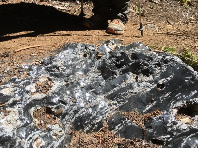
Somewhere past the Obsidian area, we picked up our pace so we could meet Kim on time. The trail was all downhill on soft dirt and we were going fast. Then we hit lava rock. Lava rock is the worst possible trail surface. The stuff tears up your feet and is quite painful to walk on, especially at the end of a long day. We reached the Dee Wright Observatory 15 minutes later than planned.
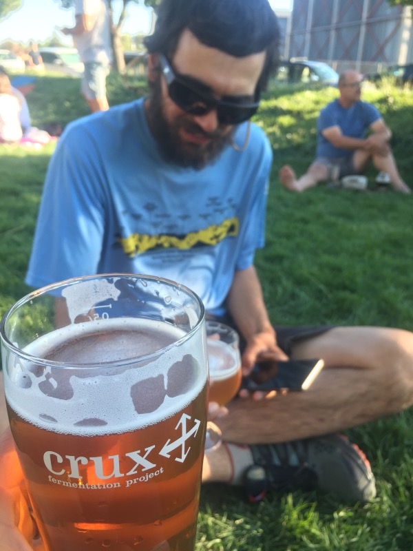
Kim drove us to her home in Bend where we we took our first zero day since Tahoe. We did our usual laundry, grocery shopping and eating. Thanks to Rob’s cousin Ali (and her friend Eli), we also managed to fit in a whitewater rafting trip: Class 4 down the Deschutes River!! So much fun! In the evening we biked to one of the many breweries in Bend. We didn’t sleep enough (as usual), but it was our most fun zero day.
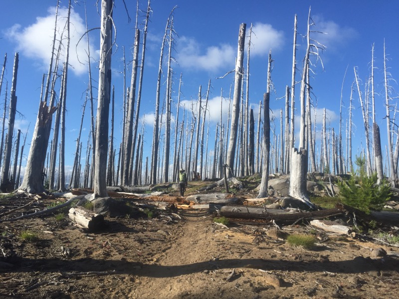
This section looks so beautiful but – ugh! – the mosquitos. Must be a banner year for the little monsters.